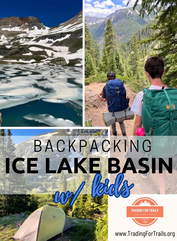
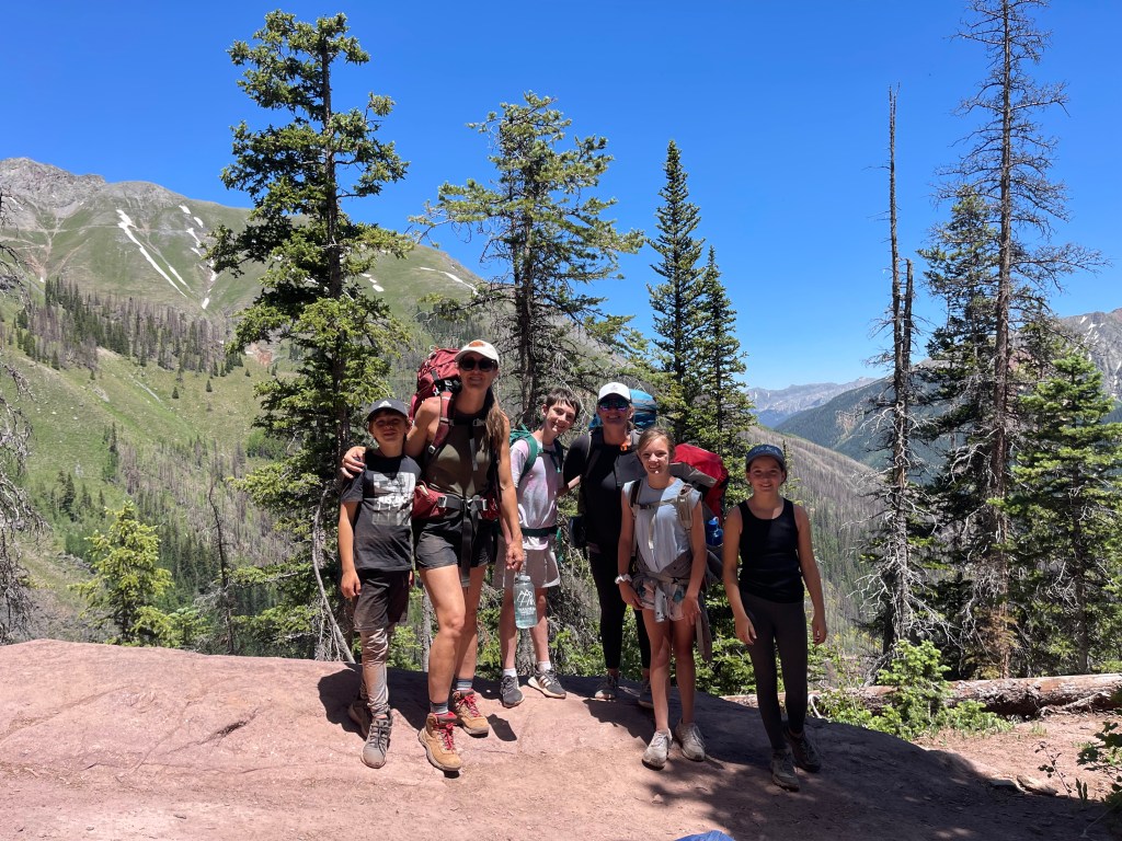
This post is about 6 months belated, considering this trip took place over Summer of 2023. This was the 4th year of our mom-kid backpacking trip tradition! At the time of this particular backpacking trip, we had a range of kids ages 8 to 12. Young enough where they still desire being in our company, but old enough to help plan and hike this relatively challenging trail. With their input, we opted for Ice Lake Basin in the San Juan Mountains of southwest Colorado, USA.
Reasons we chose this backpacking location:
-Relative ease for the kids (approximately 2,800 ft. elevation gain and >8 miles total)
-Views (lakes, meadows, water falls, forests, historic mining ruins, etc.)
-Proximity to Four-Corners region (cue Mesa Verde after backpacking).
Overall, we’d do this hike again, but with one exception: push out our time frame to the later part of July (versus early July) since Ice Lake was still covered in, you guessed it— ICE! It was an unseasonably late snow-melt for 2023, but luckily this didn’t impact our camping location.

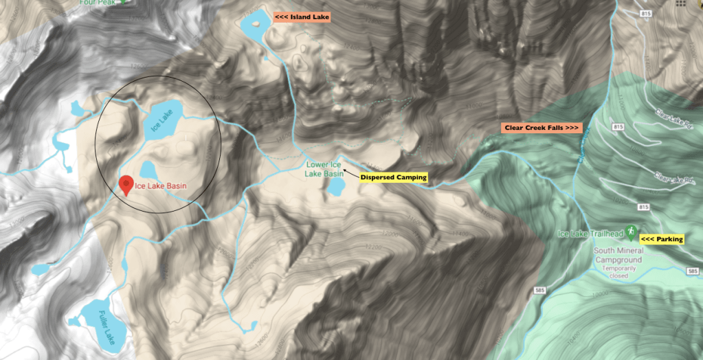
Staying the night in the Lower Basin, just below Ice Lake, is recommended. It sits at a lower elevation, so no snow was present. The ares is also less exposed to the elements and there are plenty of established dispersed campsites in close proximity to clusters of pine, streams, waterfalls, and a lake.
Below are the nitty-gritty details of backpacking Ice Lake Basin, and a brief rundown of our FULL itinerary. This includes all the stays and activities we shouldered our one-nighter backpacking trip with.
Full Trip Itinerary:
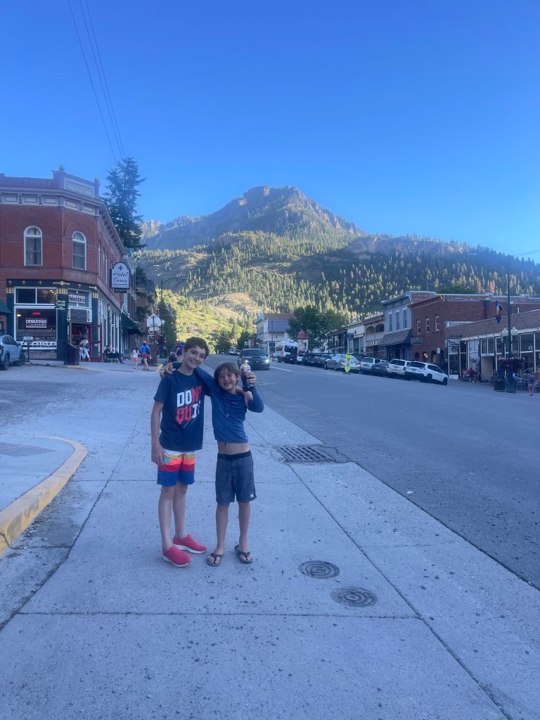
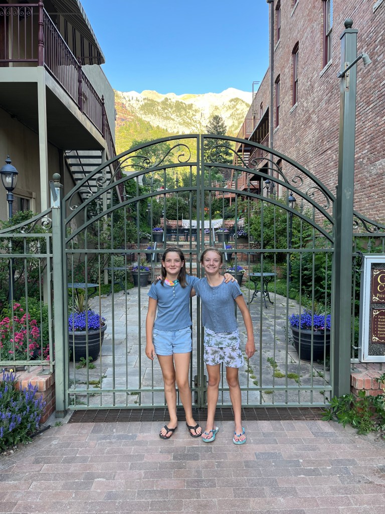
Day 1 (Wed. 7/5): Leave Denver in morning -> Ouray, CO for the night
-Lunch on the road in Glenwood Springs at Glenwood Canyon Brewpub
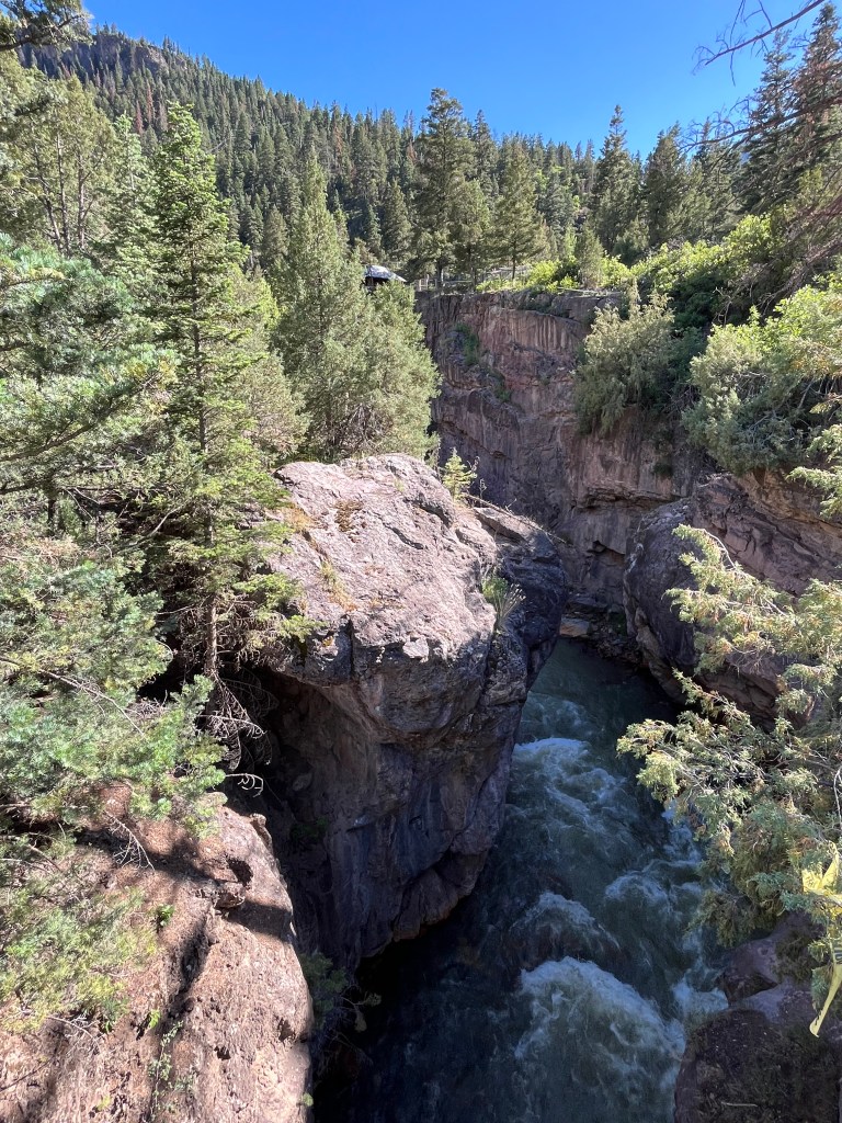
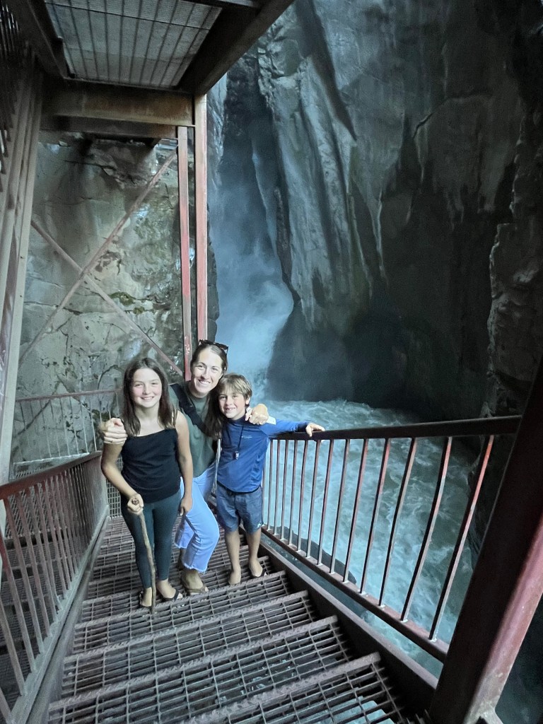
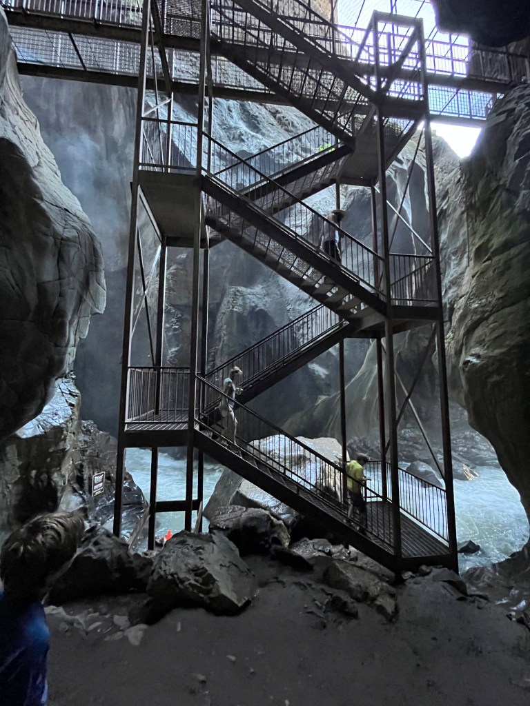
-Hiked Box Cañon Falls Park & Nature Center- prices as of Summer 2023: $5/Child, $7/ Adult
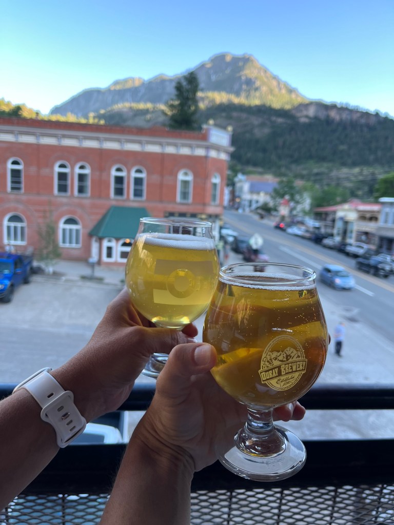
-Dinner at Ouray Brewery for dinner (had great burgers and craft beer and cider)
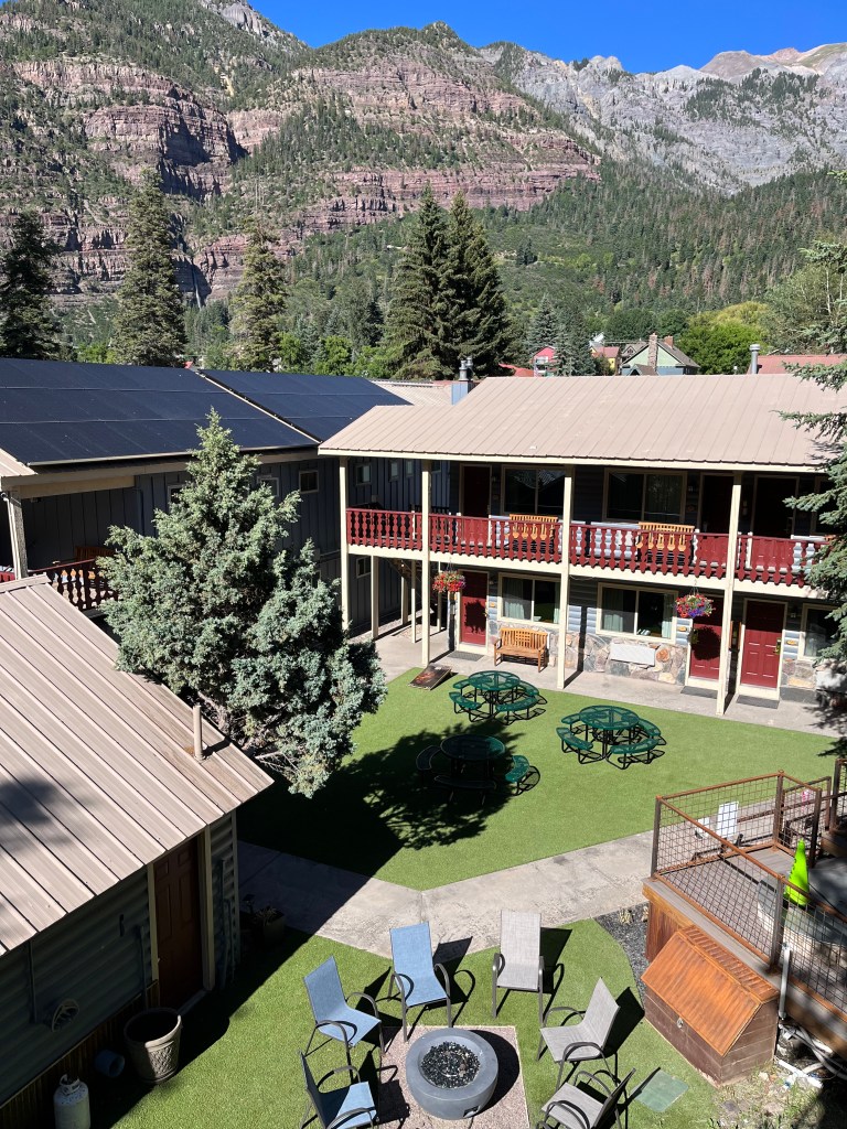
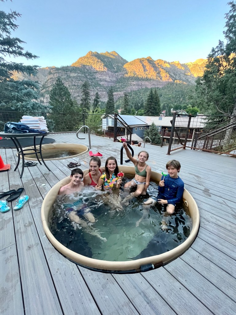
-Check-In at 4 pm at Box Canyon Lodge and Hot Springs (We booked the suite for $320.18 total for 1 night. It provided ample room for all 6 of us). It included free breakfast and soaking tubs filled with naturally heated spring water.
Address: 45 Third Ave. Ouray, CO 81427
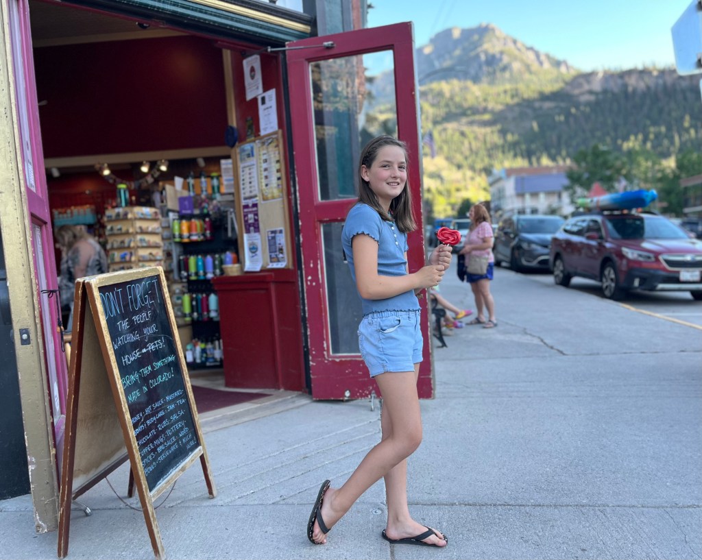
Other Activities we love in Ouray:
-Ouray Hot Spring- Admission: $21/Adult, $14/Youth, Unlimited Slides- $3/day
-Water Falls/Trails: Cascade Falls (Seen from town), Perimeter Trail, Box Canyon Falls ($5 and $3 admission)
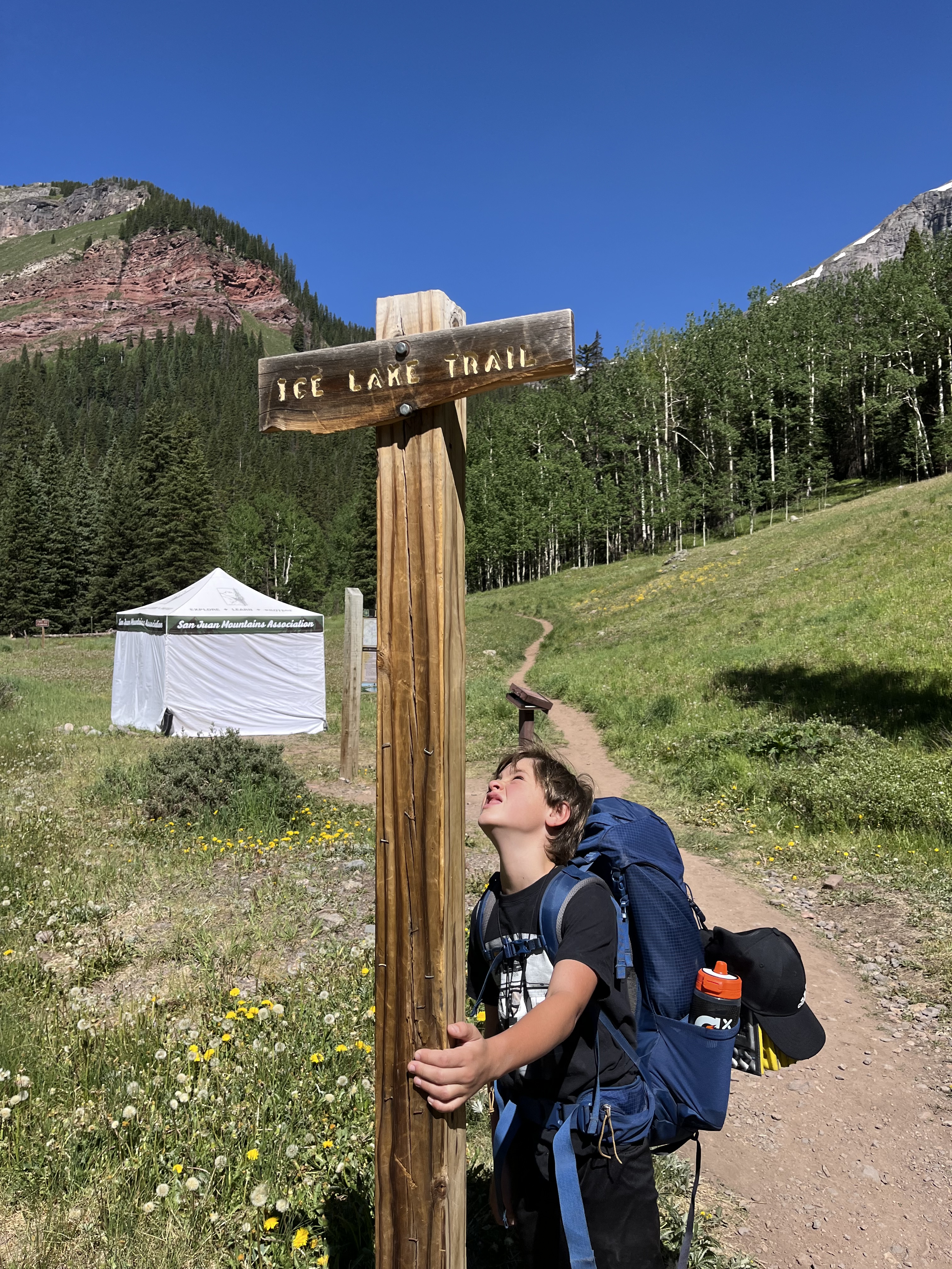
Day 2 (Thur. 7/6): Leave Ouray -> Ice Lake Basin Trailhead -> Backpack overnight
-Check-Out early from Box Canyon Lodge and Hot Springs
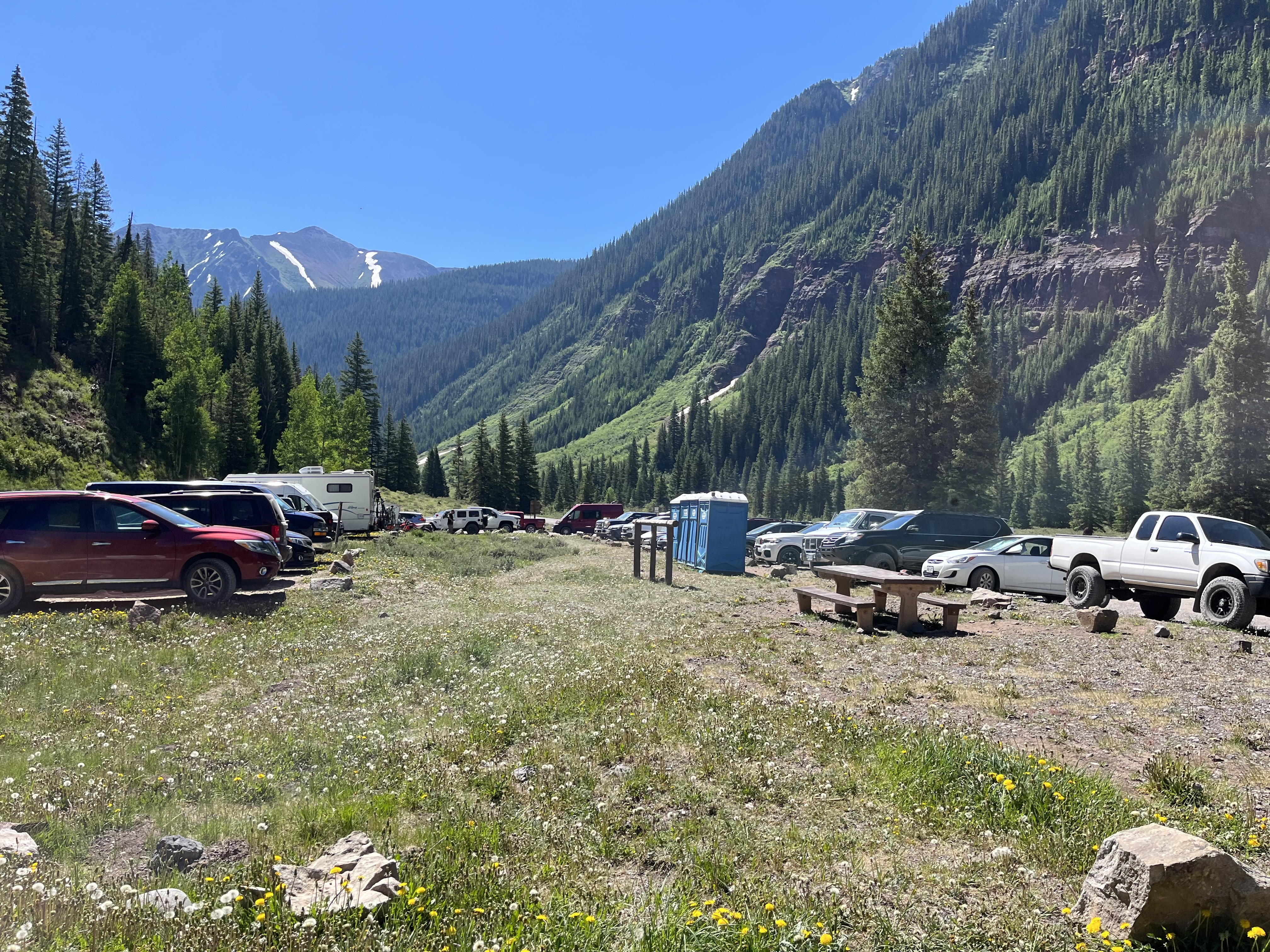
-Drive approx. 1 hour to trailhead: Follow Highway 550 south (Million Dollar Hwy) from Ouray for about 20 miles to the turn off to South Mineral Campground. Make a sharp right onto County Road 7 and follow the gravel road for 4.4 miles to the trailhead parking area on the north side of the road across from the South Mineral Campground (it’s free, and there are an ample number of spaces).
Day 3 (Thur. 7/7): Complete Backpacking -> Drive to Mancos, CO
-Pack-up camp; Drive between the trailhead and Mancos is approx. 2 hours
-Lunch in Durango at Mi Ranchito (mexican restaurant located in historic downtown)
-Check-in at AirBnB: Beehive Boutique (total $542 for two nights) in downtown Mancos
-Check-in anytime after 3 pm. Host: Christina Lawrence
-Address: 128 Grand Ave. Mancos, CO 81328
Day 4 (Thur. 7/8): Full Day in Mancos & Surrounding Area
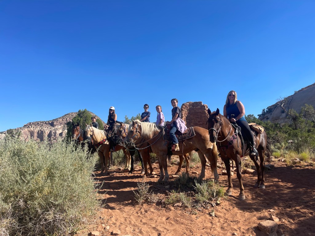
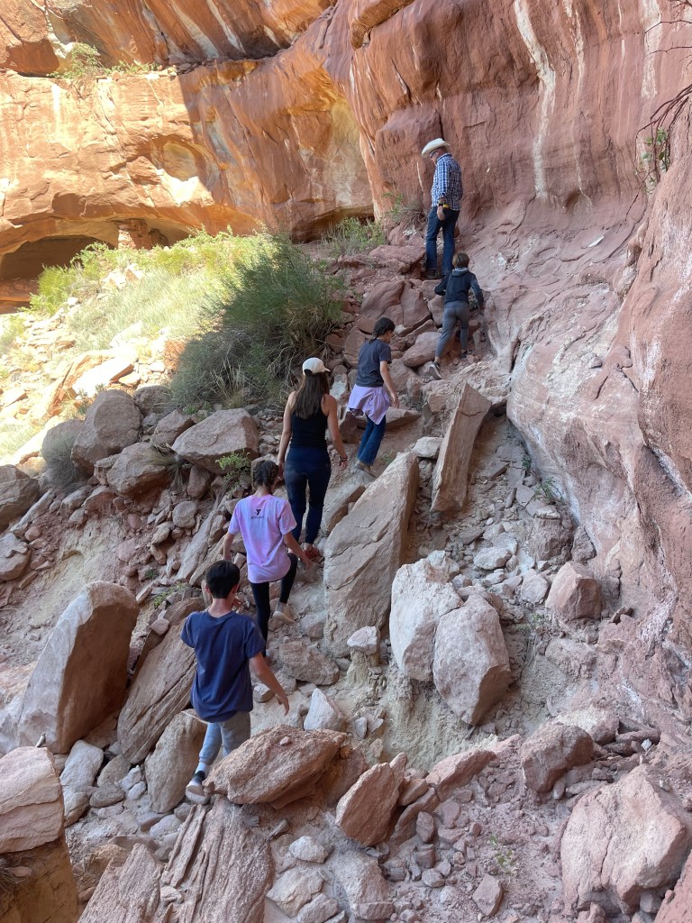
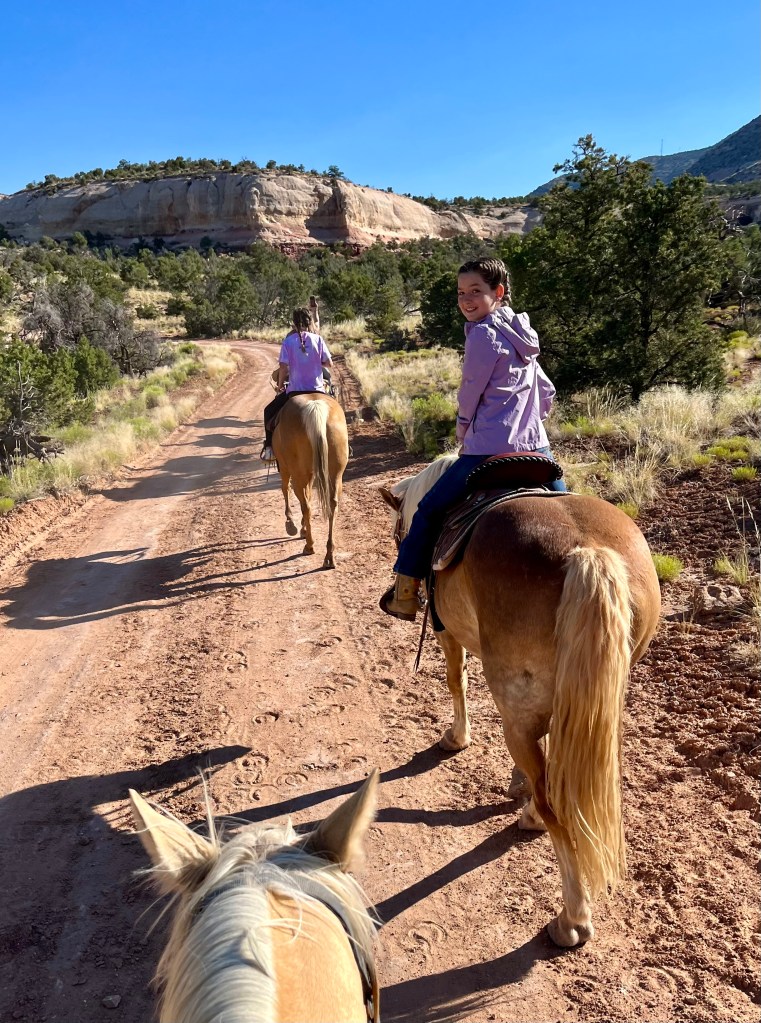
-Horseback Riding through Canyons of the Ancients National Monument with family owned Canyon Trails Ranch
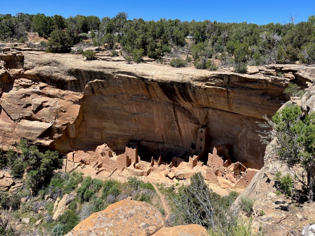
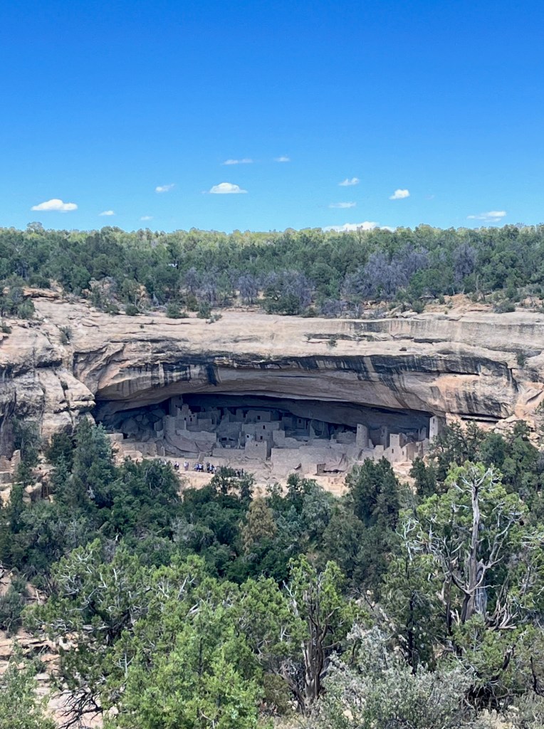
-Mesa Verde Park entrance is approx. a 10 min. drive from AirBnB. (Go West on Hwy 160 to Park entrance).
-Purchase Cliff Dwelling Guided Tour Tickets!!! (Otherwise, the only cliff dwelling that may be visited without a tour is Step House, on Wetherill Mesa)
-Purchase tickets here 14 days in advance (at 8 AM):
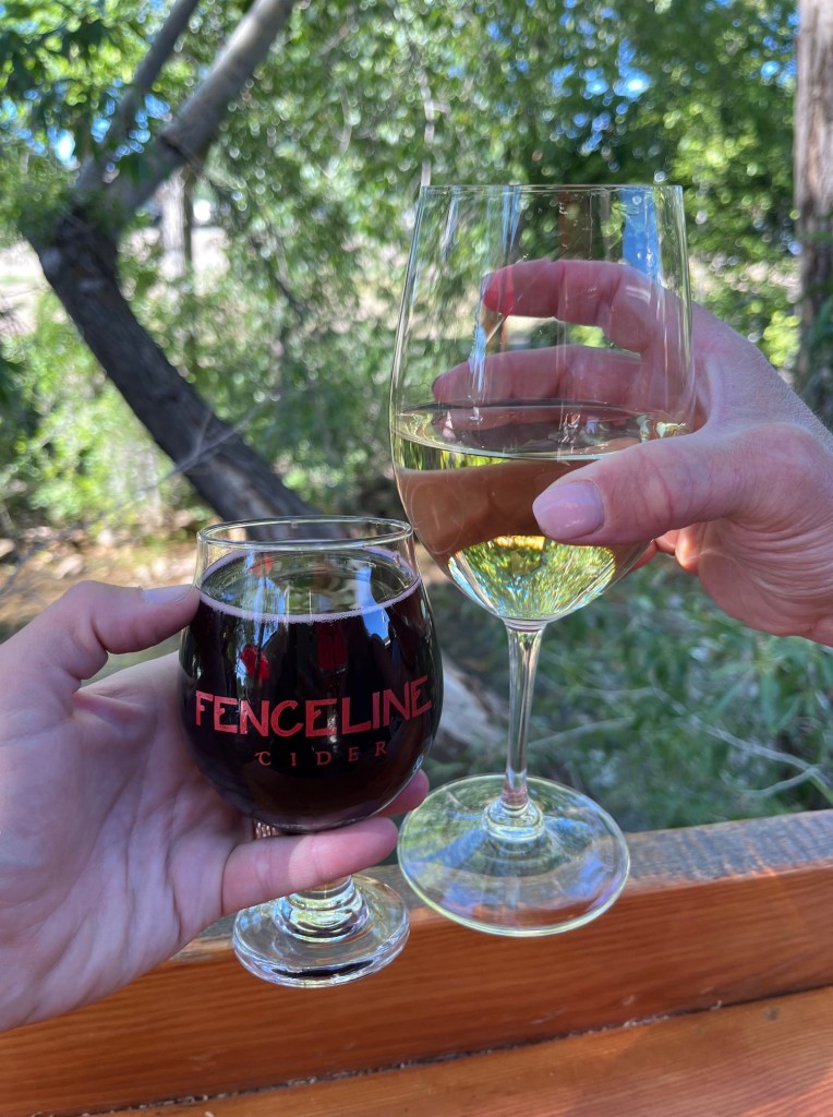
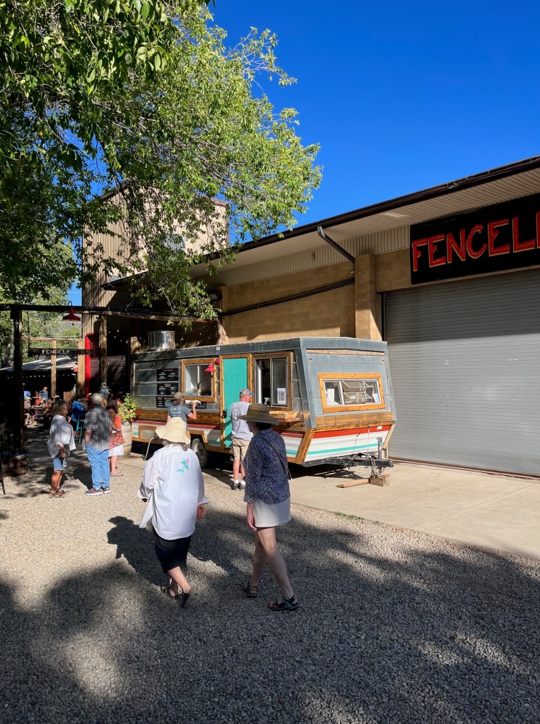
https://www.nps.gov/meve/planyourvisit/cliff_dwelling_tours.htm -Dinner, drinks + live music at Fenceline Cider
-“Grand Summer Nights” -downtown Mancos revs up select Saturdays in Summer, with a festival-like vibes. There’s live music, art exhibits, hands-on activities for the whole family, and local businesses hosting open houses with food and drink. It was so fun and community oriented!
Day 5 (Thur. 7/9): Leave Mancos -> Drive Home to Denver
-Check-out by 11 am.
-Breakfast- wanted to eat at Absolute Bakery & Cafe but it was unexpectedly closed (backup plan was fast food in Pagosa Springs instead).
-Lunch in Buena Vista at Biggie’s Sandwich Shop
Ice Lake Basin Trail Stats:
Distance: 3.5-4 miles one way (7-8 miles total)
Approx. Total Elevation Gain: 2,800’ of elevation gain.
Type: Out & Back
Location: near Silverton, Colorado, USA
Best time to visit: July to September
Our Trail Experience:
Like seasoned Coloradans, we got on the trail early, which is a must in the Summer months due to the risk of lightning, which runs like clockwork in the early afternoon in the Rockies. The last place you want to be is on an exposed summit.
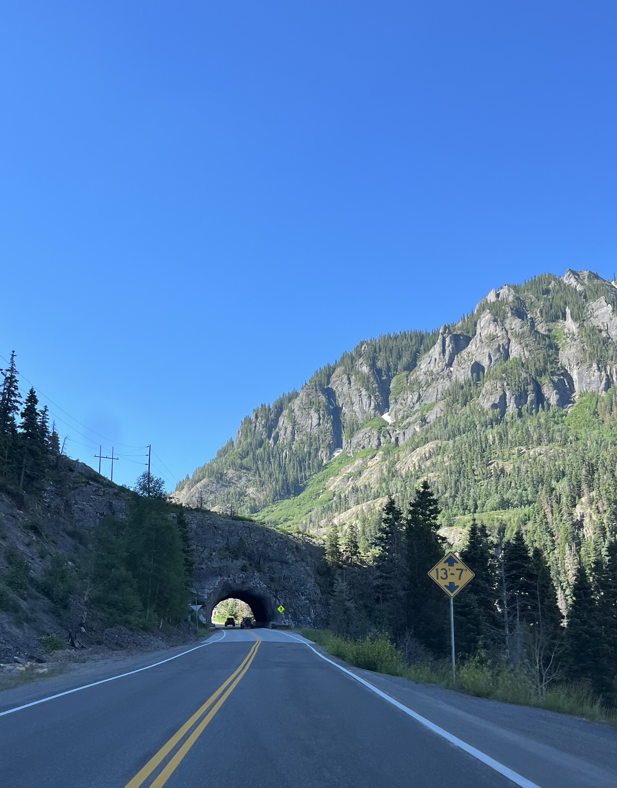
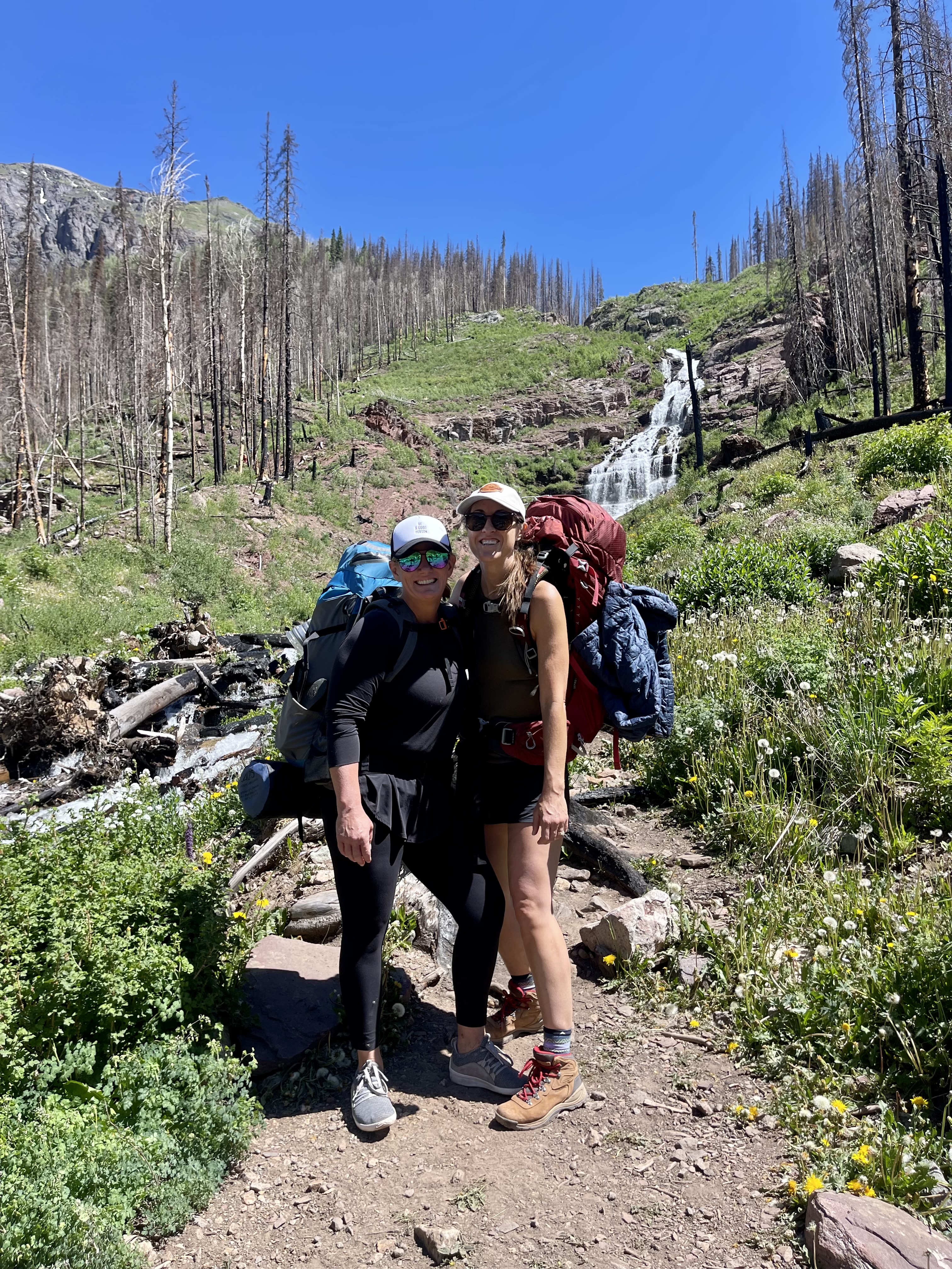
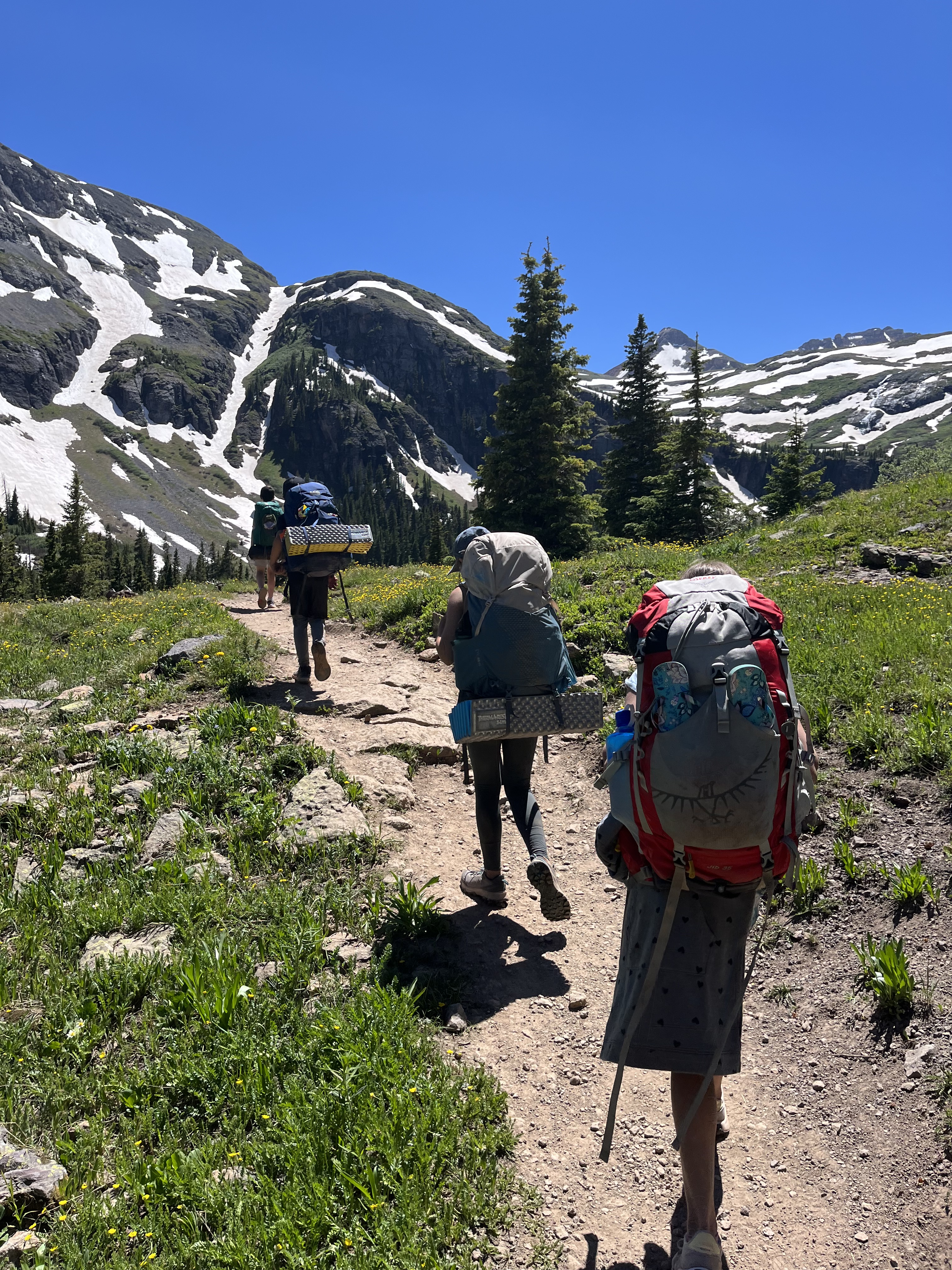
After a hearty breakfast at the hotel in Ouray, we drove about 45 minutes along Colorado’s famed “Million Dollar Highway”/Hwy 550 until we reached the turnoff for the trailhead. The pavement quickly turned to dirt road along 585, but it seemed well maintained. After about 4 miles, we entered a large dirt parking lot near the trailhead! While I opted for the free dirt lot, my friend Listy chose to park in the adjacent South Mineral Campground (securing a campsite for a fee). She did so as a precaution since her daughter wasn’t initially feeling her best, warranting a “just in case” camping alternative.
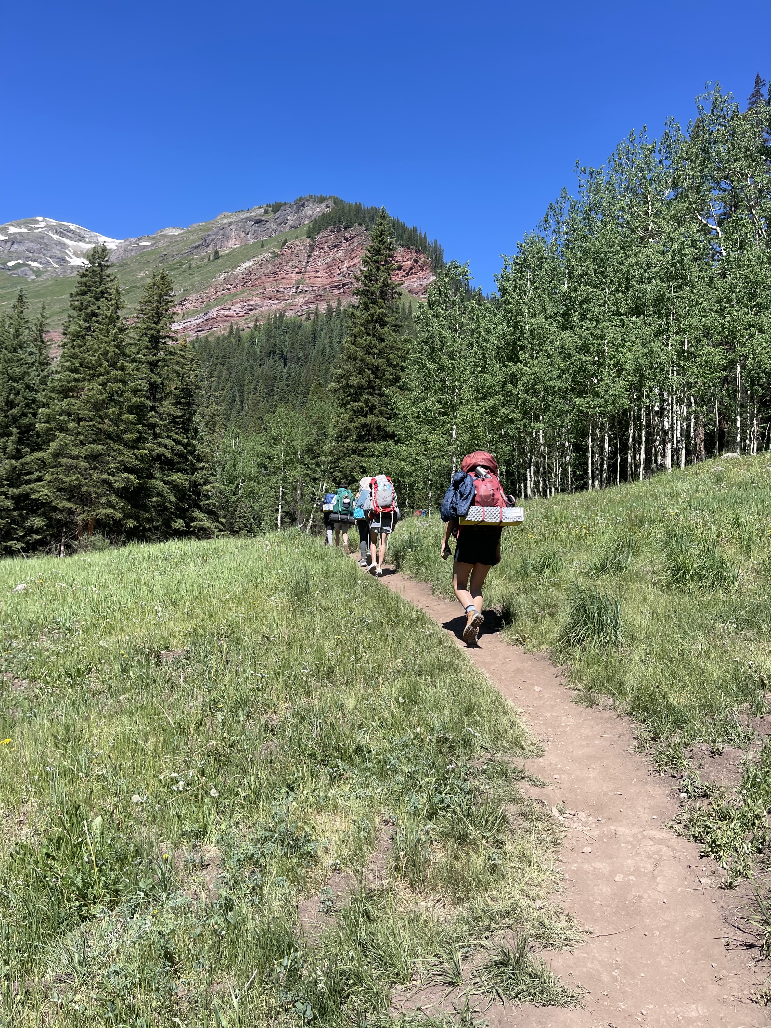
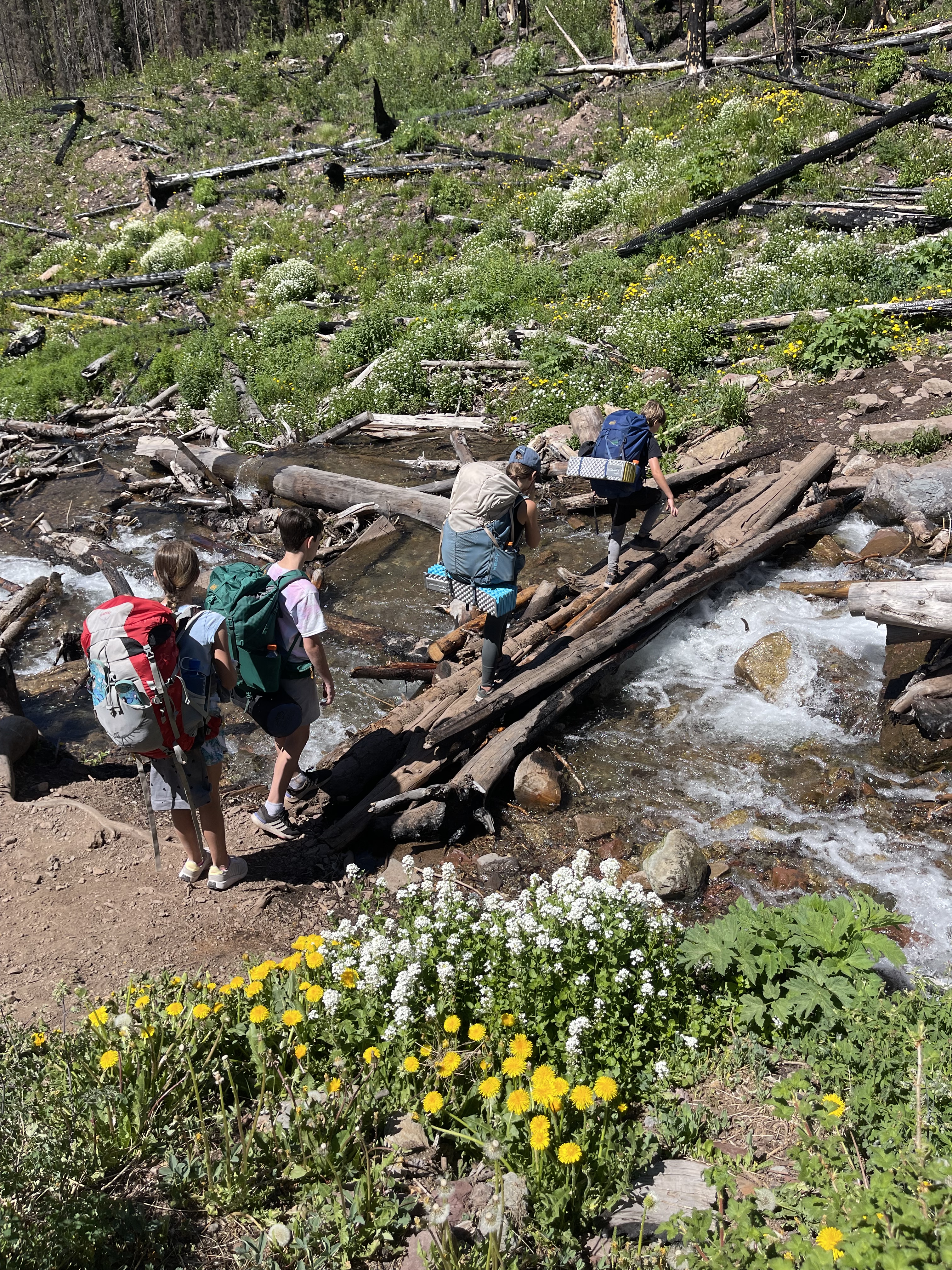
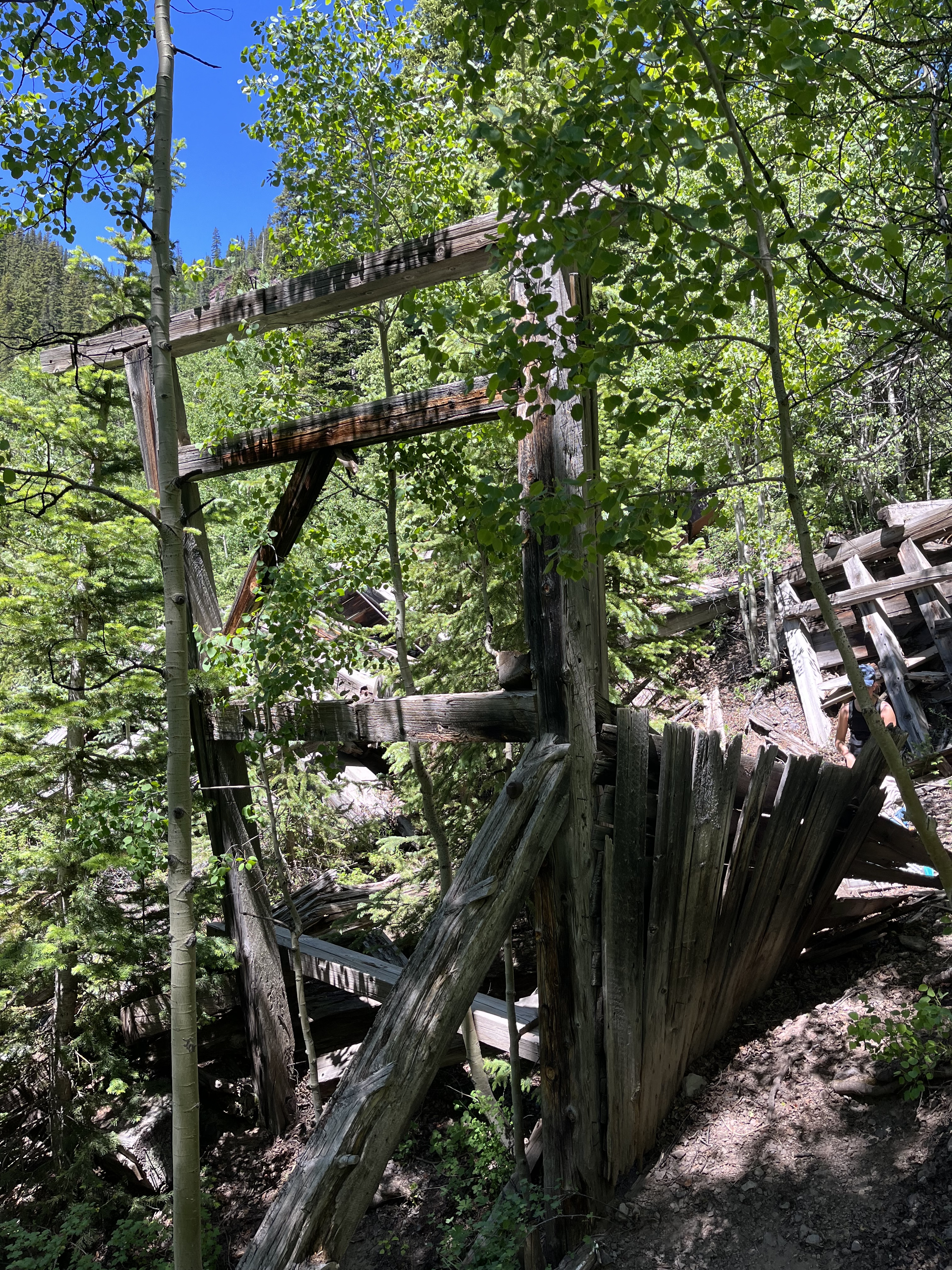
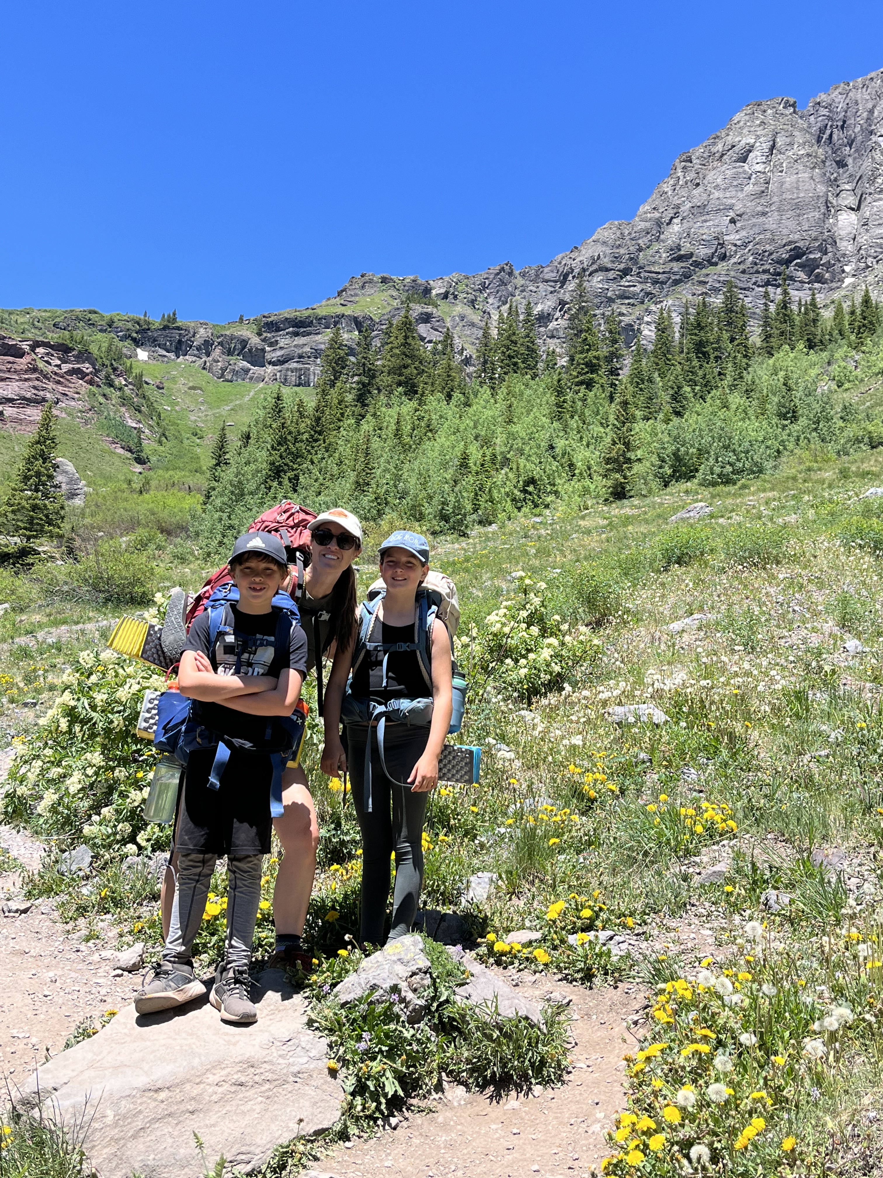
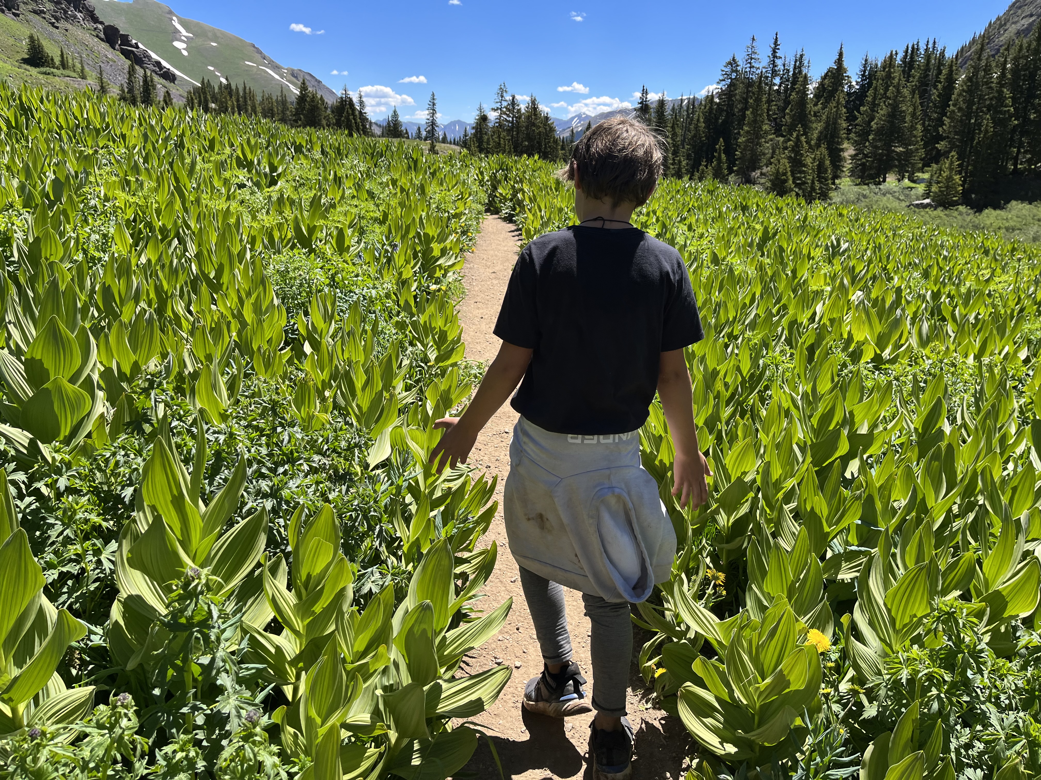
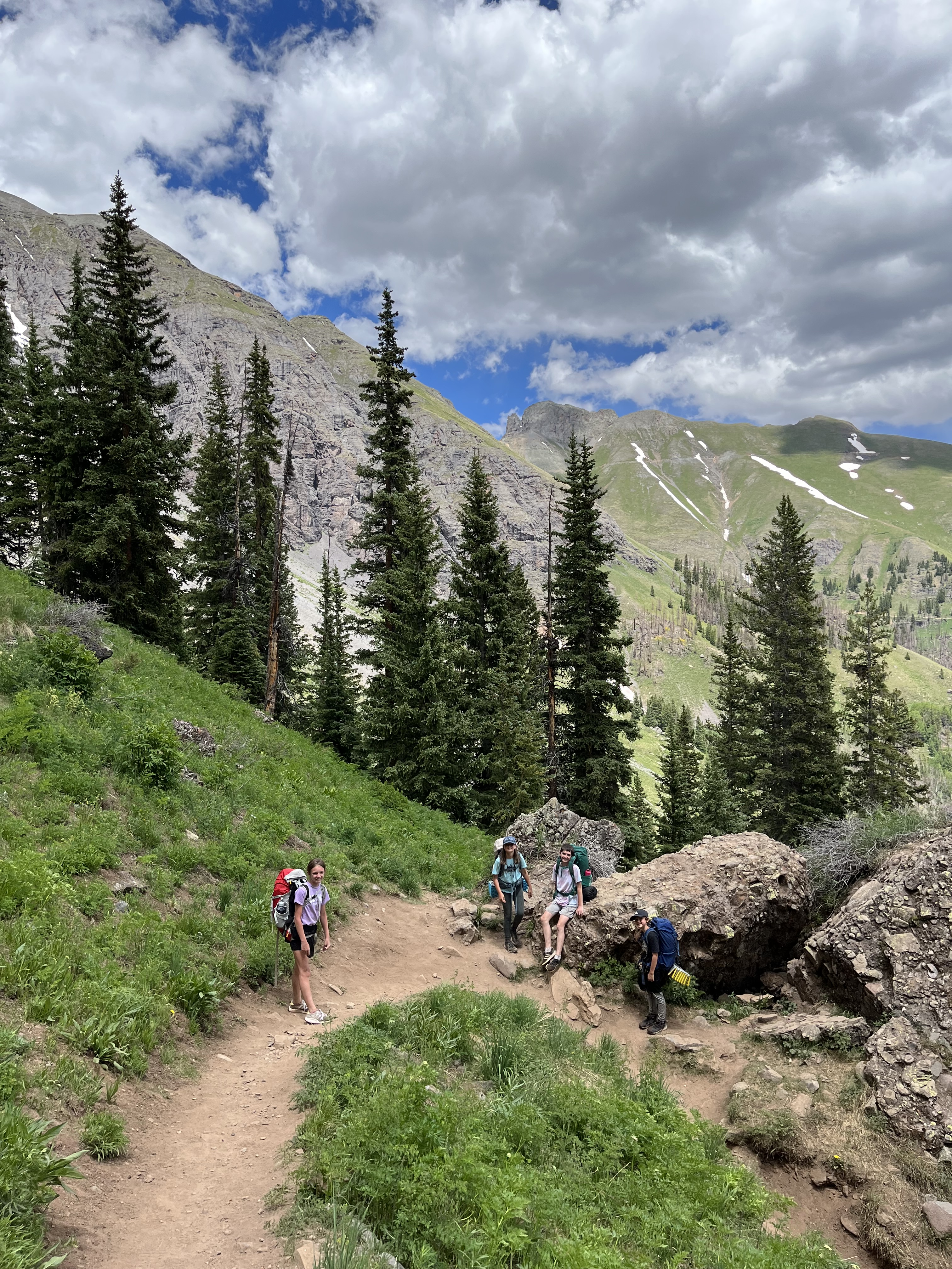
The trail started on the north side of 585. And once on it, we self registered then made our accent. It was a fairly strenuous and steady climb with some switchbacks. It began with us first traversing a large burn area with some stream crossings. But as we trekked, the views improved with every step. Some of our favorites along the first part of the trail included skirting a raging waterfall (Clear Creek Falls), and spotting some old mining ruins tucked amid the pine and Aspens (37.81240, -107.78262).
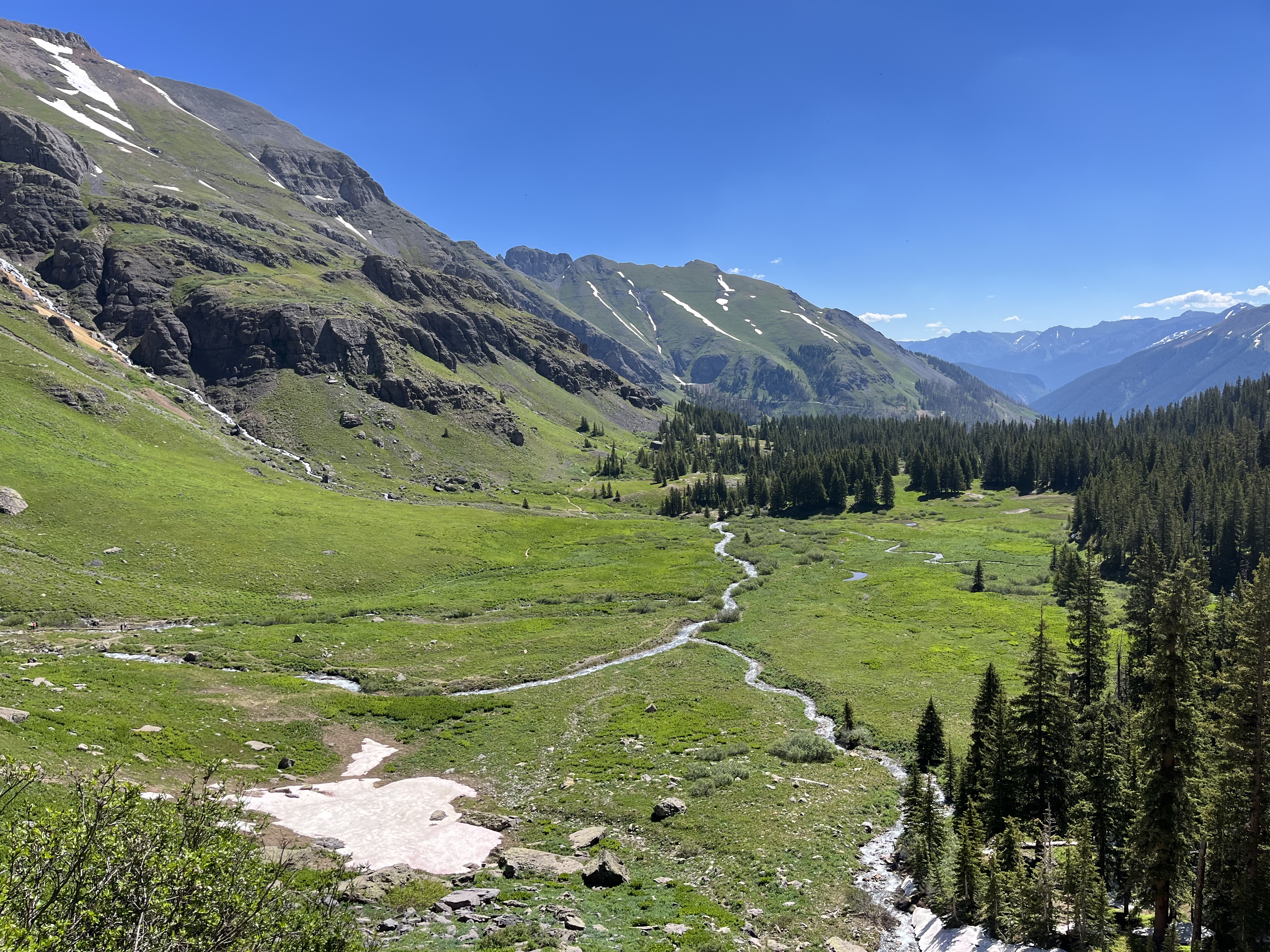
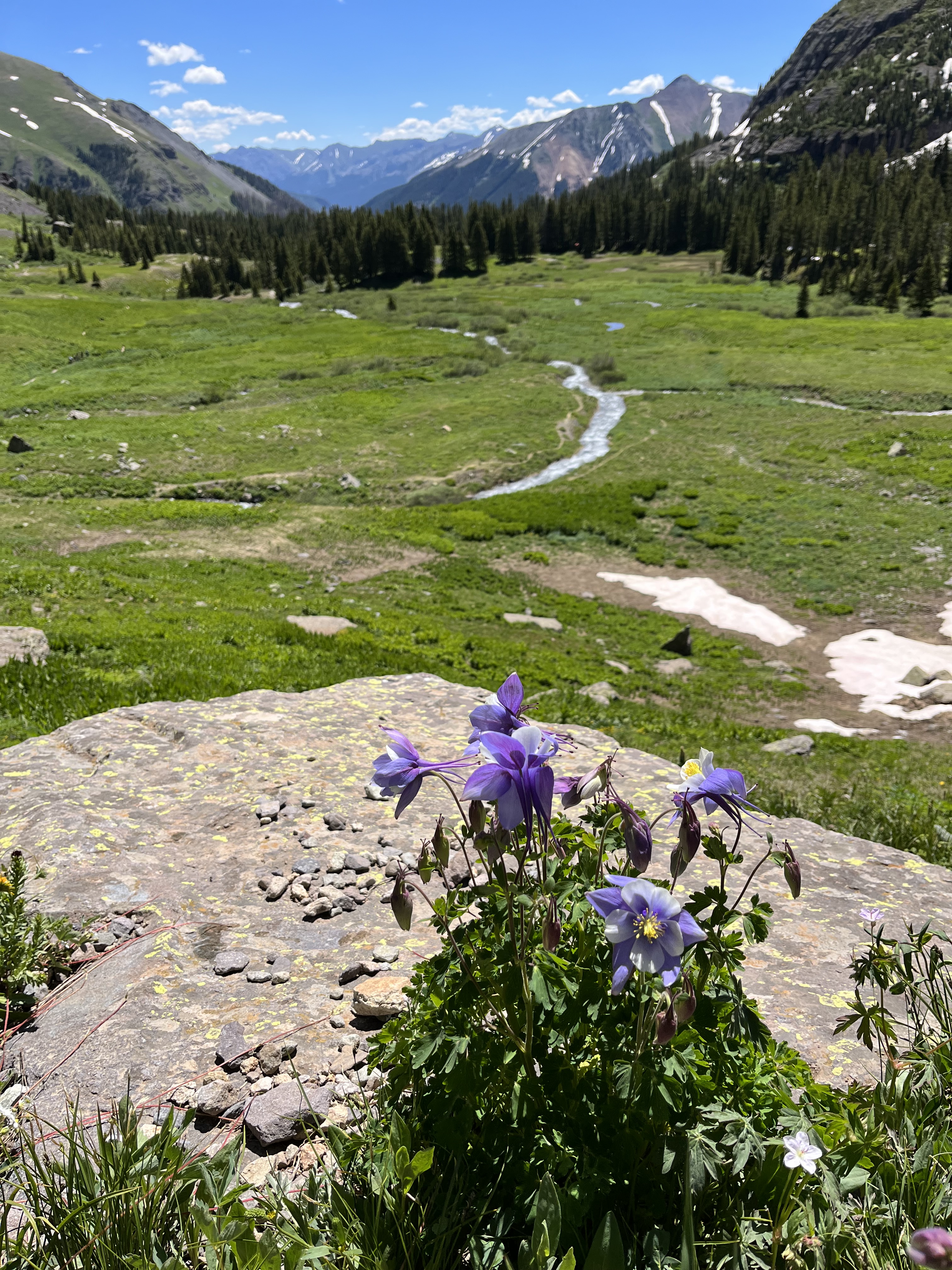
Once we reached the Lower Basin, the trail flattened out and we were able to secure a dispersed camp site in the southwest corner of the basin for the night. This was after about 2.5-3 miles in and 2,000 ft. elevation gain. We used the remainder of our energy and set up camp. We decided to attempt reaching Ice Lake Basin the following morning.
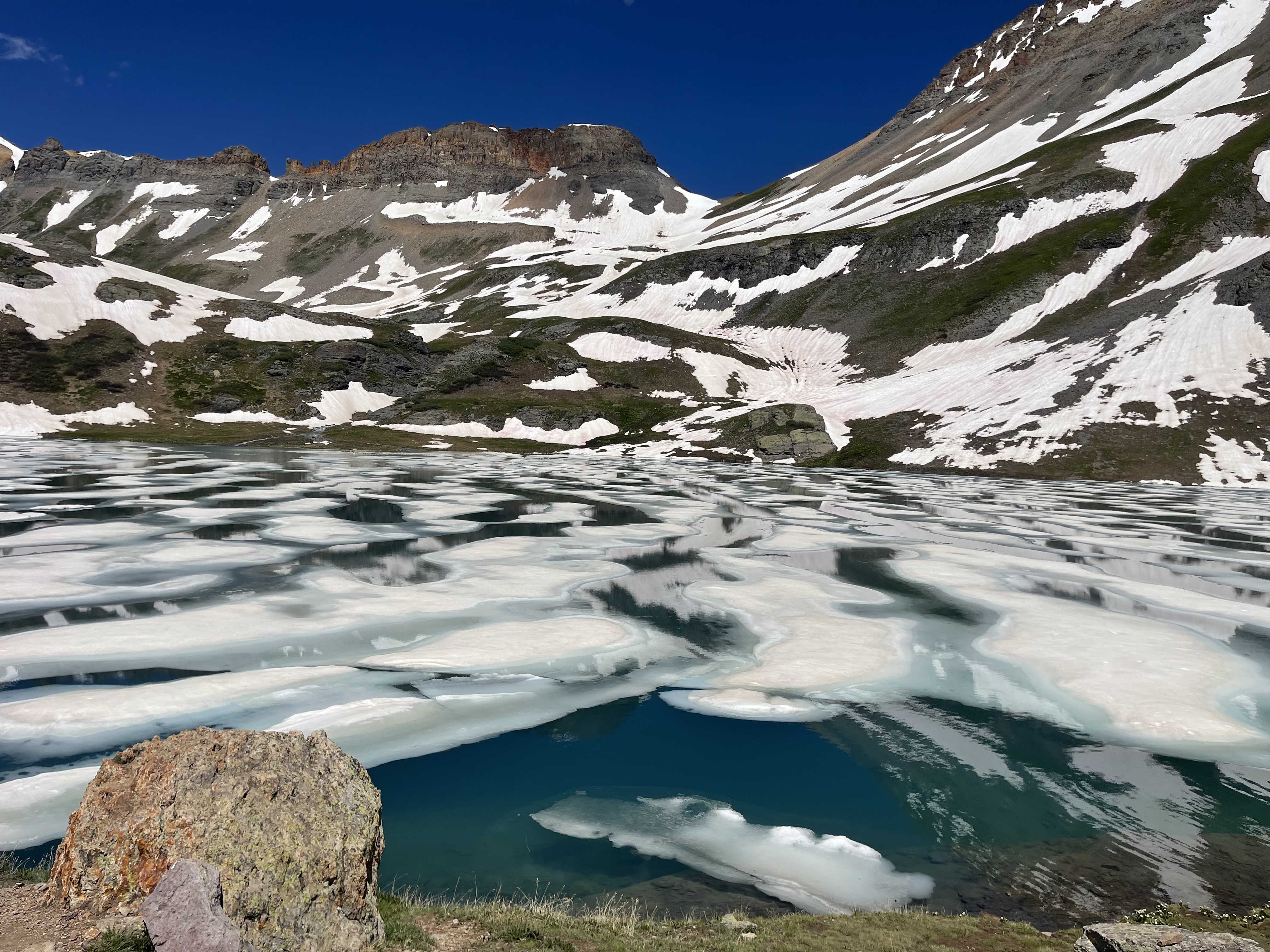
***It’s worthwhile to note that many people we met along the trail created a loop trail by incorporating Ice lake AND Island Lake. While we would have loved to do this, but it just seemed to be biting off more than the kids could chew in a short amount of time. Additionally, the upper basins were still covered in swaths of ice and snow, making for sketchy conditions not worth the risk. ***
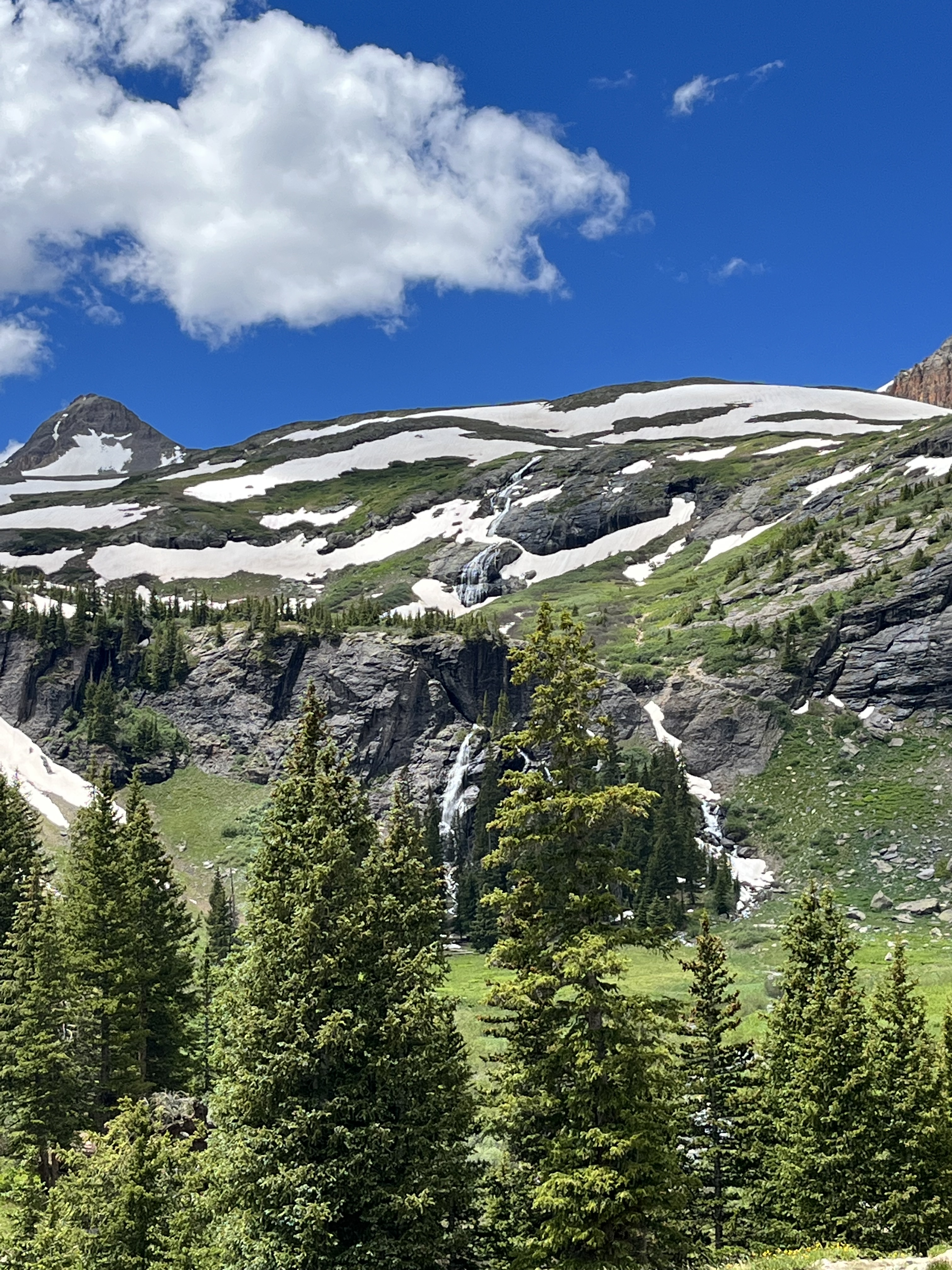
The two primitive sites Listy and I chose overlooked two raging waterfalls cascading from the ridges above. The runoff formed two streams that then merged near camp. They ultimately emptied into an unnamed shallow lake, surrounded by pockets of pine and marsh, about 200 feet below us. It made for stunning views in all directions!
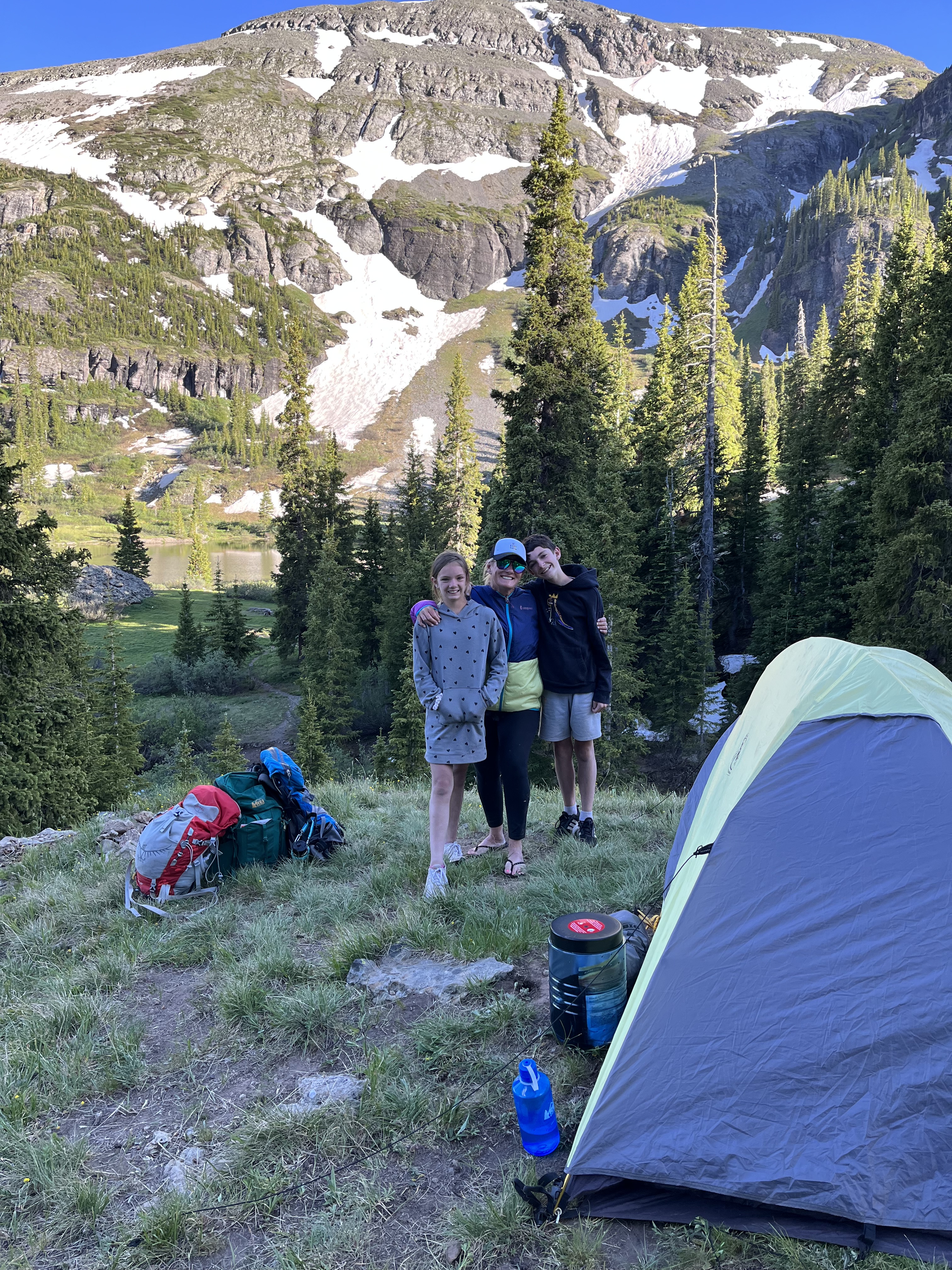

After setting up our tents, the kids helped us filter and secure water from the nearby stream for meals and hydration. They transported it back to camp using a 5L collapsible jug with a dispenser (bought at Sierra for about $10). This helped ease the number of filtration trips to and from the creek.
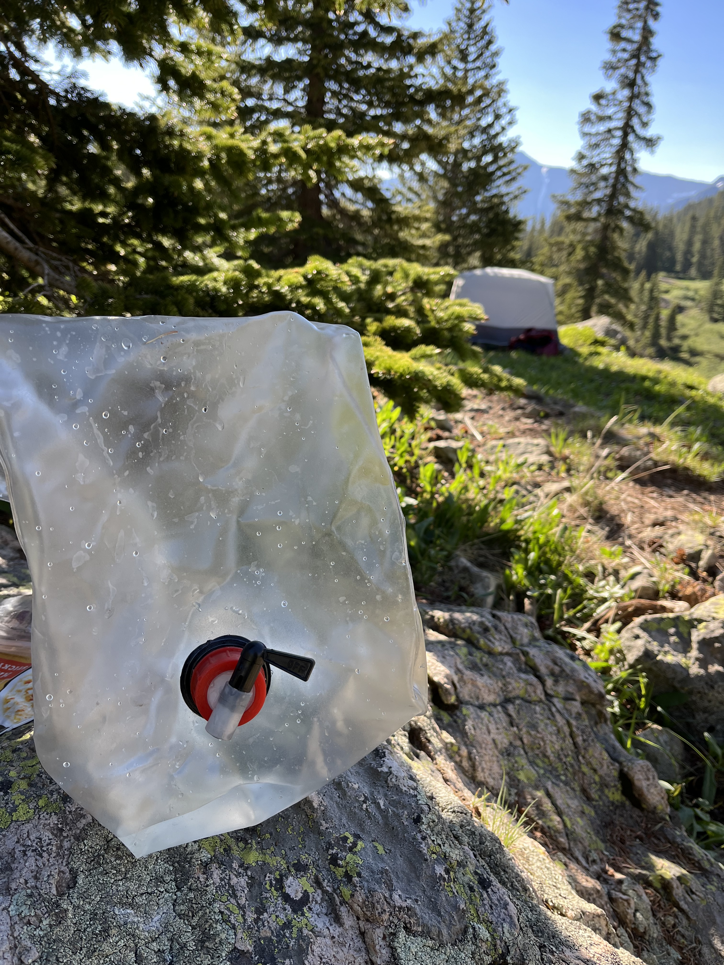
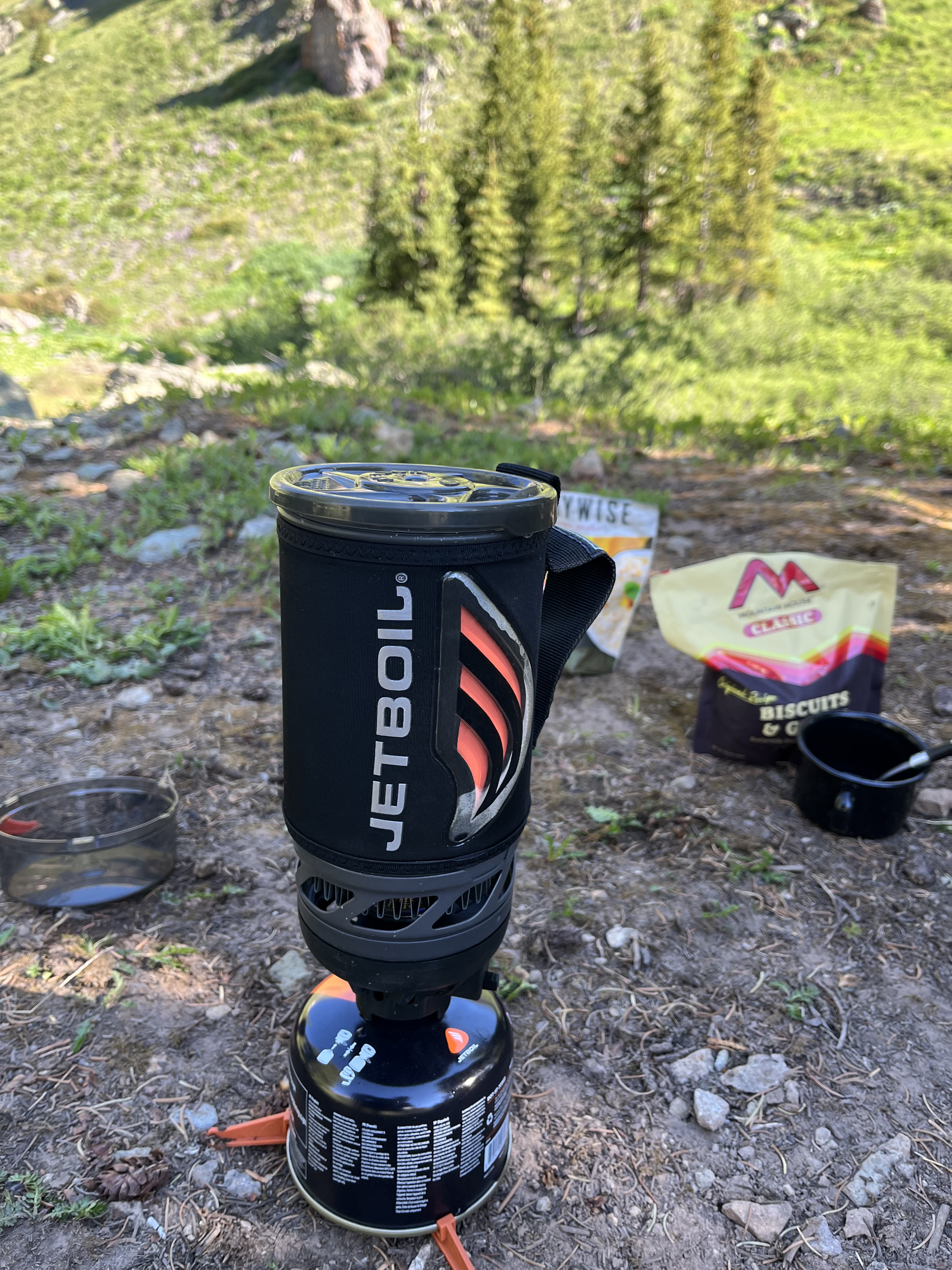
Many places in Colorado have fire bans, this location was exception. As such, we planned accordingly by preparing our warm meals using our Jet Boils and prepackaged dehydrated meals. We boiled our water with ease, then added the directed amount into our meal packets—Bon appétit!
Come nightfall, we made sure our food and waste was hoisted high in a tree away from camp (at least 100 ft. from sleeping area) to prevent bears and other animals from rummaging through it. A bear canister would have also worked as an alternative.
Note: Please be sure to secure all food and waster properly, and abide by ALL Leave No Trace principles. This includes packing out what you pack in, and trying to minimize your impact as much as possible. For the bathroom, remember to be at least 200 feet from any water source, trail, or camp site. For #2, pack out or burying any poop in a 6 in. deep “cat hole”, then cover with soil. Be sure to pack out any toilet paper/wipes (please don’t be THAT person to leave it for someone else to find).
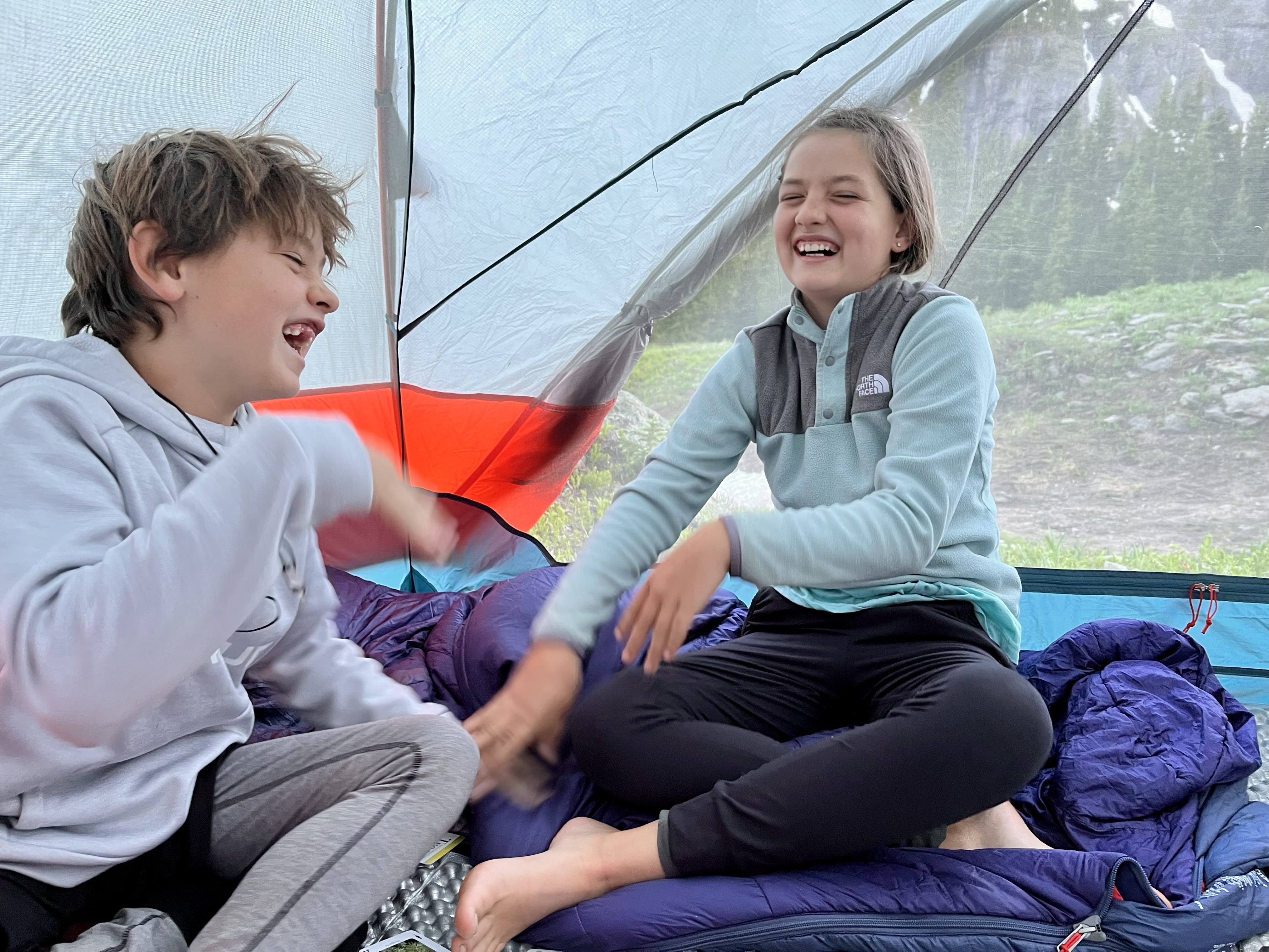
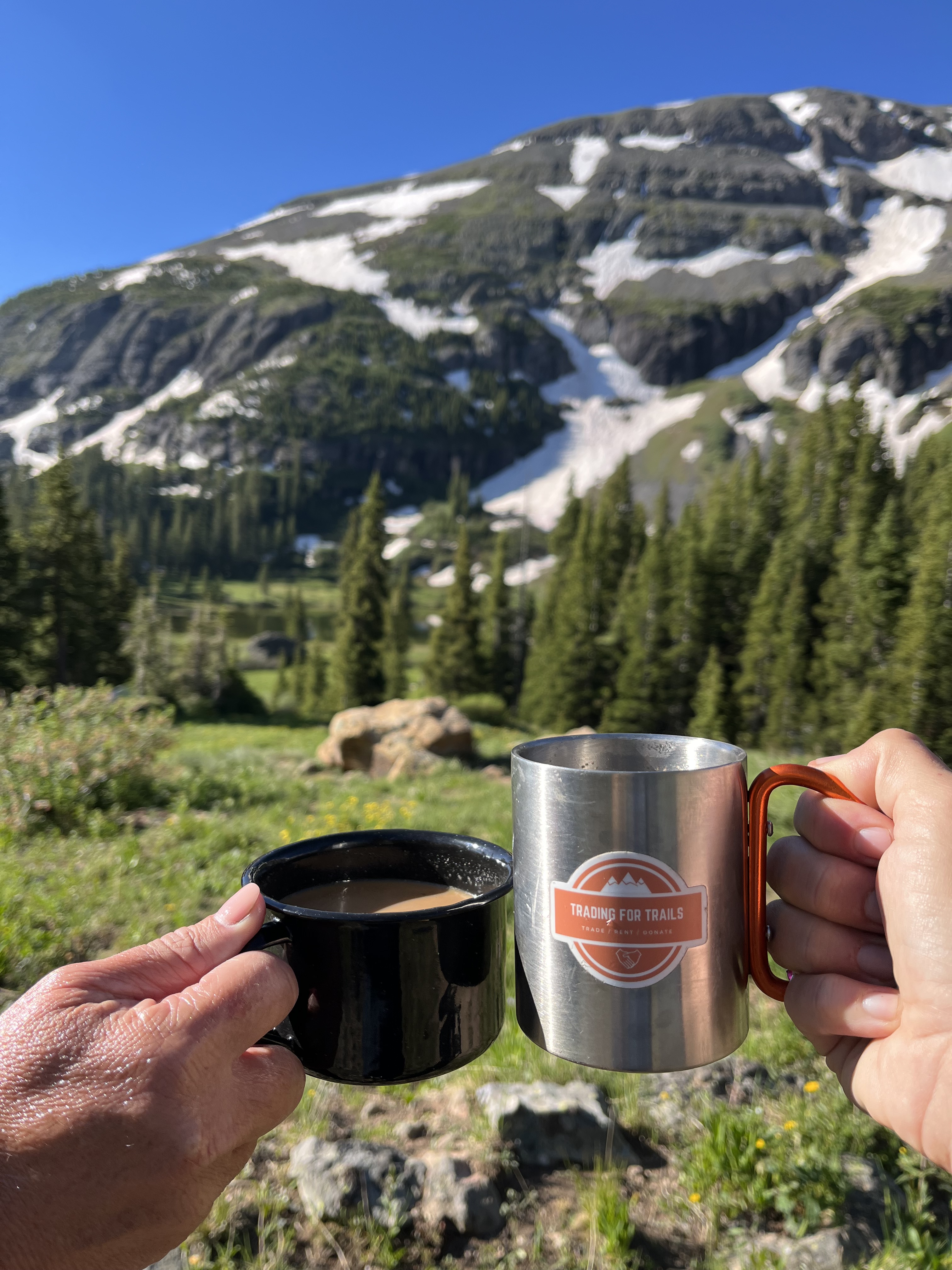
We turned in for the night once the dark and cold set in. We headed into our tents and played card games by headlamp light, laughed, and snuggled. It wasn’t long before we fell asleep under the starlit sky and unencumbered sounds of nature. Then before long, we rose with the sunrise, and enjoyed breakfast and coffee with a view. I always love the way the morning light hits the upper peaks in Summer.
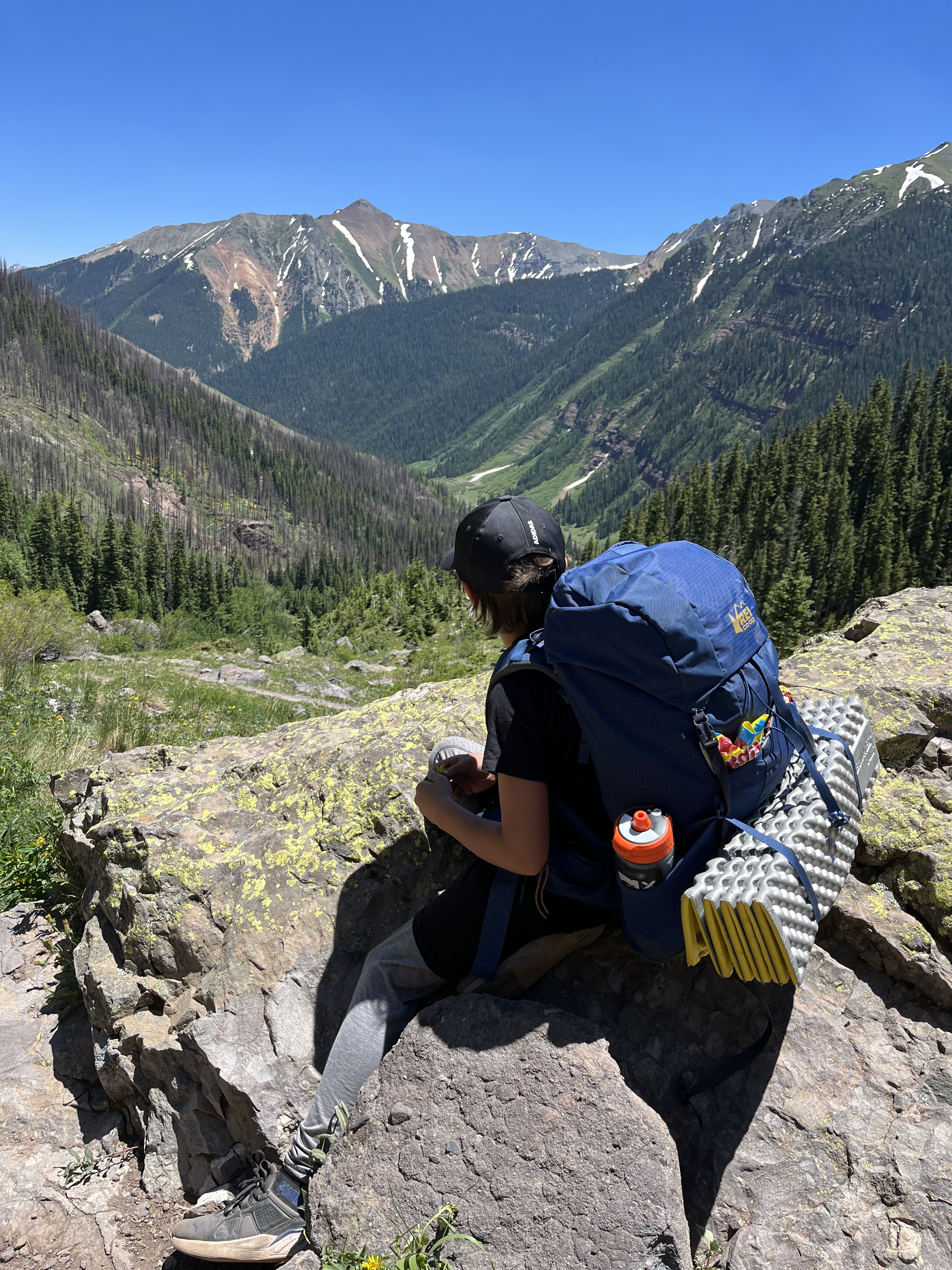
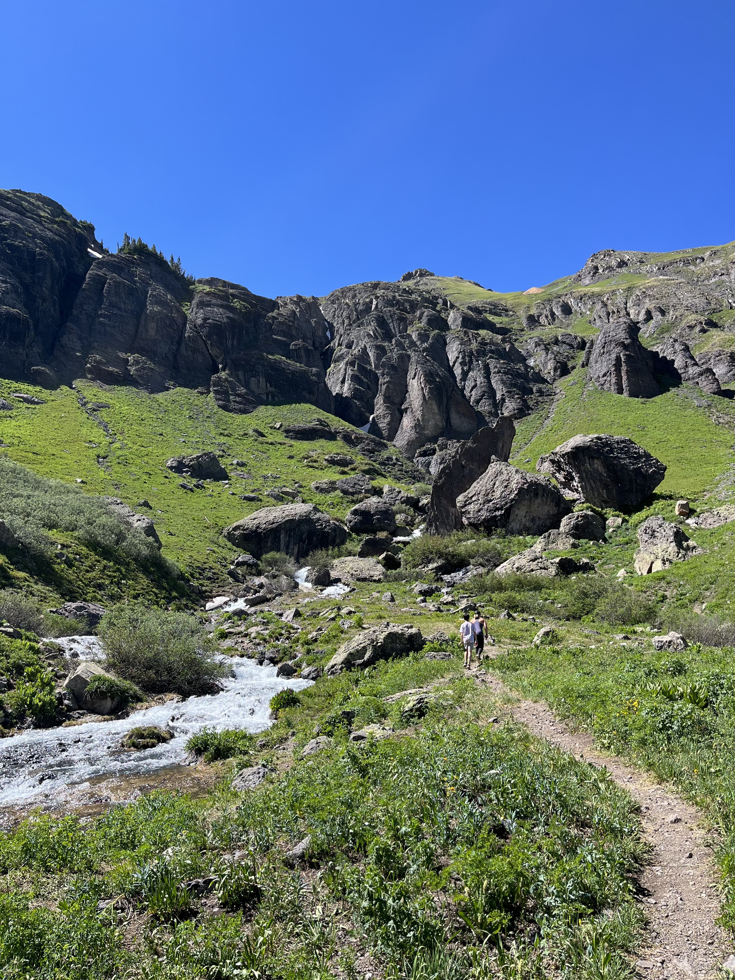
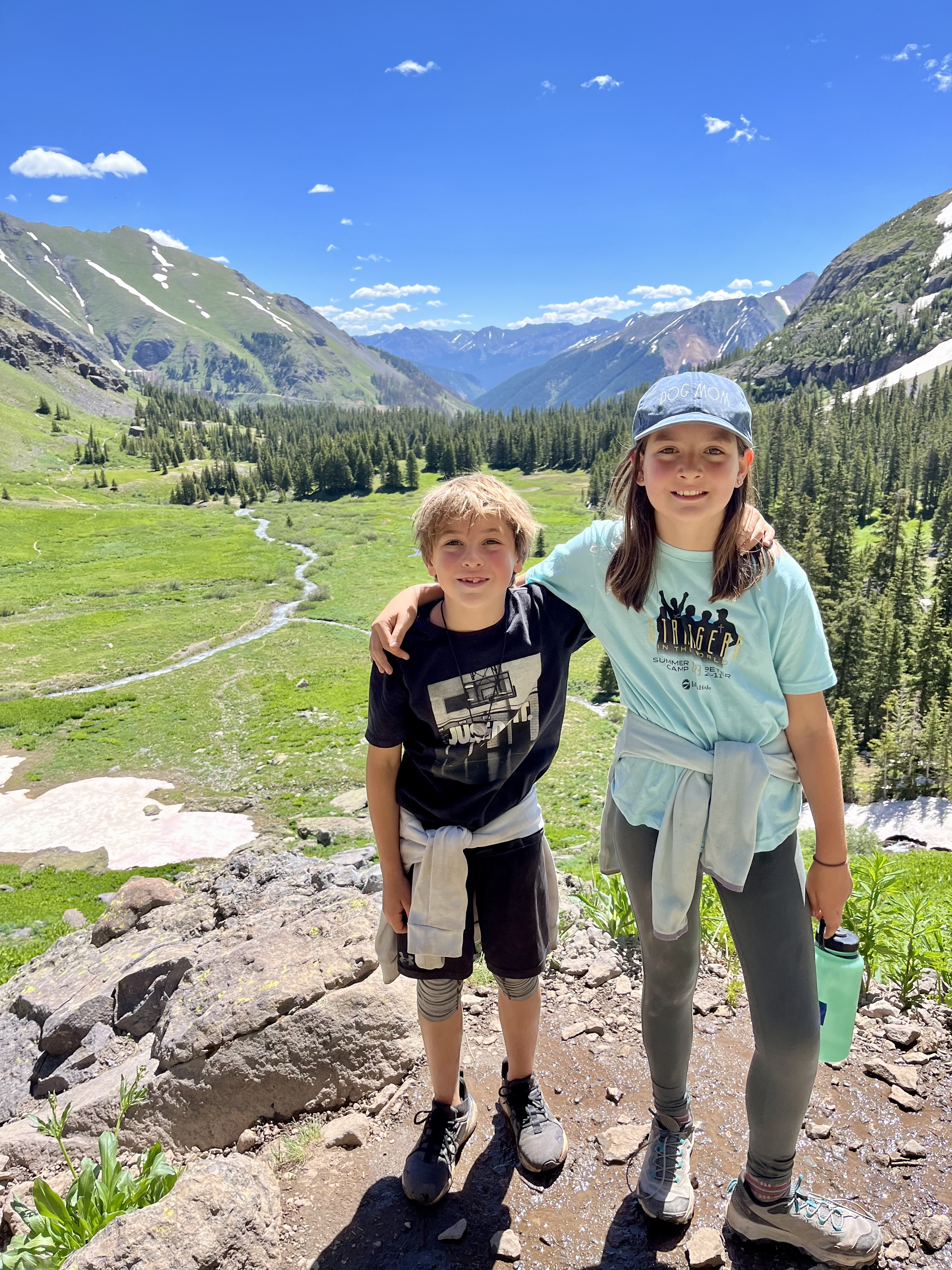
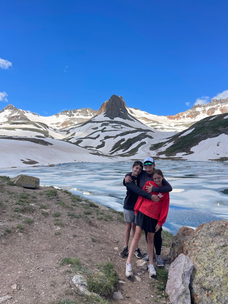
By about 8 AM we were ready to make the trek up the ridge to Ice Lake Basin. The views were my GLORIOUS midway up. It showcased the beautifully expansive Lower Basin. There’s a perfect spot off the trail beckoning you to take a picture. However, It starts getting a little dicey after that, with the trail narrowing, and becoming steep and slick. To add to the challenge, we also started encountering pockets of snow! As such, I wish we had been more prepared with hiking boots with more traction and micro-spikes for the snow.
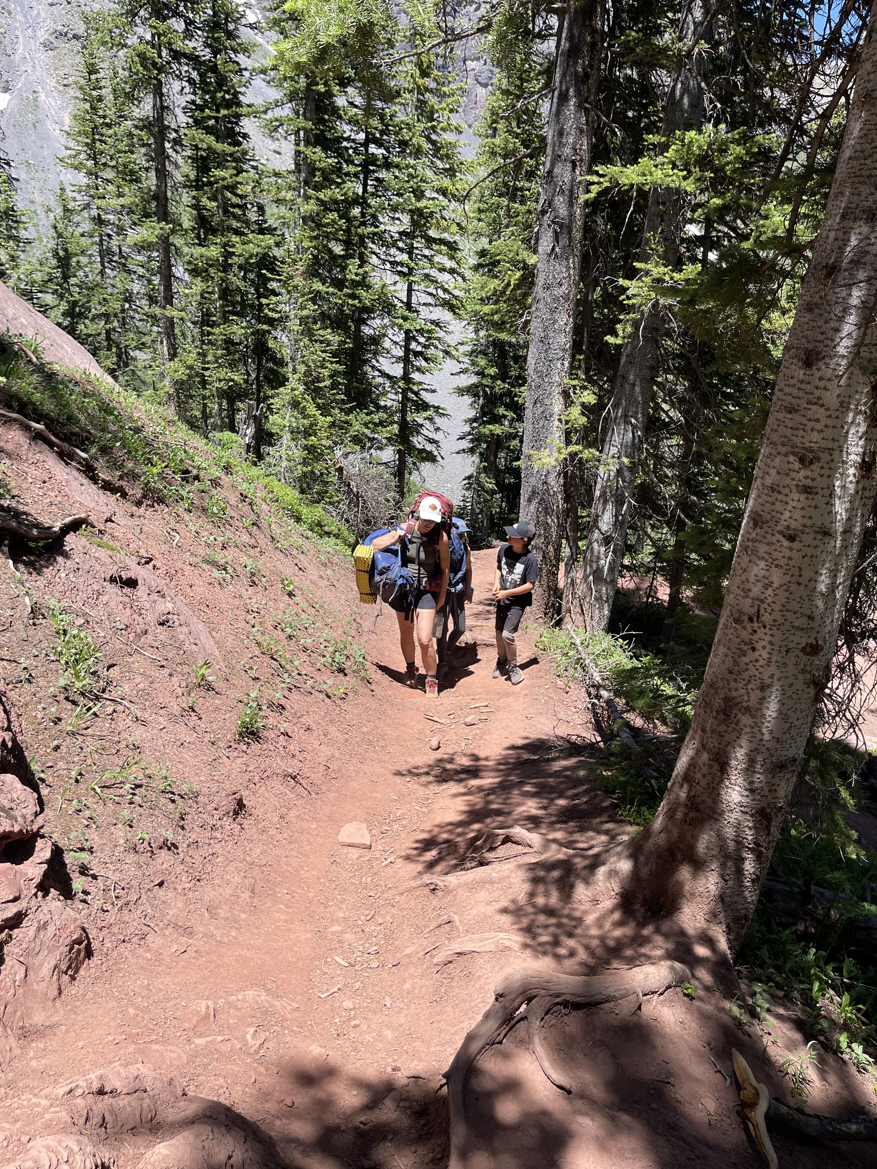
As we neared the top, my daughter started to feel nauseous and faint from the change in altitude. After some deliberating, my daughter, son, and I decided to head back to camp, while Listy and her two kids continued up to Ice Lake Basin as planned. I was disappointed, but knew it was the wise choice. Best to play it safe, especially when it comes to matters of altitude sickness.
Based on Listy and her two kids’ account, the trail remained strenuous and the trail was difficult to follow due to large snow fields covering it. Additionally the temperature dropped by about 20 degrees (bring your jackets and be prepared for windchill!). And as they pushed to the final destination of Ice Lake Basin, they found it was indeed covered in ice. Even in early July, everything in the upper basin was covered in white. Albeit gorgeous, they weren’t expecting a winter wonderland in the middle of Summer. Unfortunately we weren’t able to witness the brilliant teal blue we had come to associate with this lake based on pictures online. As such, when/if we come back, we’ll patiently wait until much later in the season to attempt this hike again.
When Listy and her kids arrived back to camp, they shared photos and stories of their adventure. And as for the three of us that stayed behind, my daughter did in fact feel better as she descended in altitude, making for a peaceful time together before having to pack up our gear and head down the mountain together. Per usual, the decent was easier than the climb up the trail, and we were back to our cars at the trailhead within a couple hours. We even made it to Durango for a late lunch/early ‘Linner’ + a well-earned margarita for us moms!
Important Trail Notes:
- NO permit necessary. Just self register at the trailhead.
- Set up camp wherever we see fit (200 feet from lake though). However camping in the Lower Ice Lake Basin is strongly encouraged, and there are a number of campsites across the wide creek and tucked into the trees to the south of the basin.
- Upper Basin is NOT recommended for camping because:
-The alpine vegetation in the Upper Basin is fragile and easily damaged by tents.
-Digging a cat hole is very difficult in the alpine tundra and there’s very little privacy.
-Fires in the Upper Basin’s alpine zone are highly discouraged for several reasons:
-There is little or no wood there for a fire, so you would have to pack it in.
-Fire scars out in the open are unsightly and may take years to revegetate.
-The Lower Basin has existing sites and trees for protection and hanging food.
-You will be exposed to storms and strong winds in the Upper Basin.
-It’s best to filter water from the “clear” (non-chalky) streams, such as the ones in the Lower Basin. - Please always follow Leave No Trace principles, be safe, and have fun!